Rapid
MI
Alternate put-in (former dam location)
Save this feature with the run it belongs to.
Gauge Conditions
Runnable: 200.0 – 500.0 CFS
Almost certainly too low for reasonable whitewater run.
Data from American Whitewater & USGS
Description
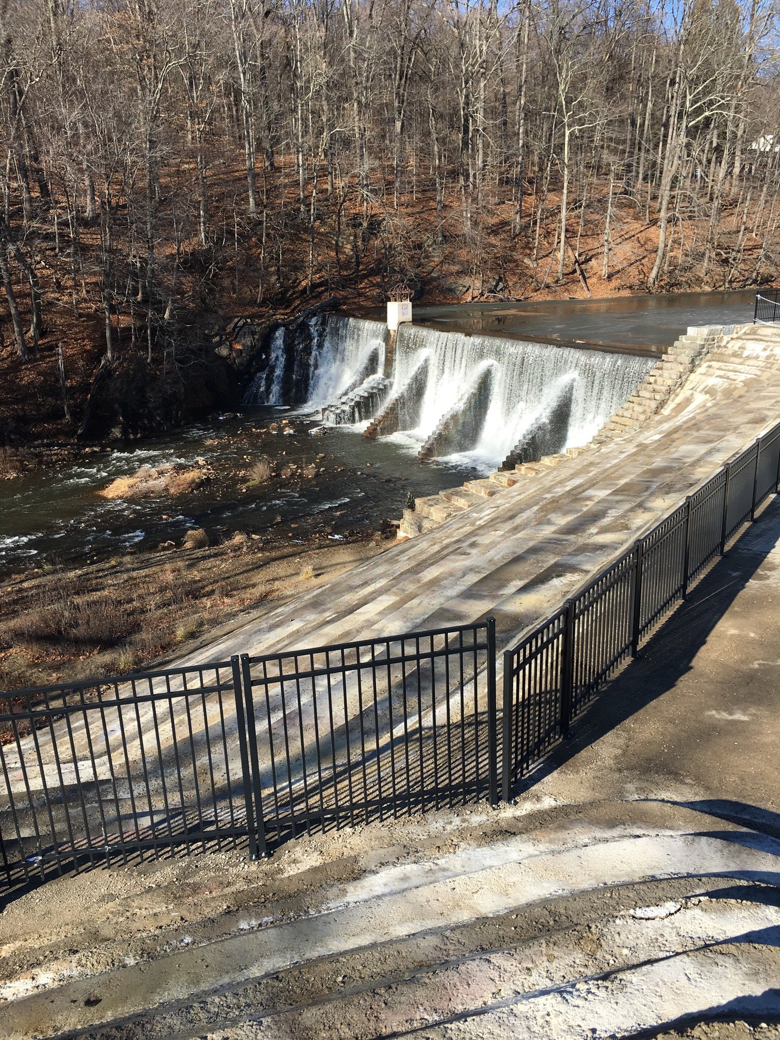
Virtually all trace of the former dam have been removed. In its stead, the river is lined for a short stretch with trucked-in boulders to stabilize the banks. No falls, ledges, or significant rapids exist through that stretch -- only boogie water. Thus, many boaters opt to put in at this point, forgoing the one upper drop.
The gauge is at this point, and while it doesn't list drainage area, by my best calculation, it appears to be very near 44 square miles.
Location
Interactive river map
Loads as you approach this section.

View Full Run
Mead Rd to Lake Superior (L'Anse) (2 miles)
Falls
III-IV+
2.3 mi
Current Conditions
5-Day Forecast
Whitewater data from
American Whitewater
American Whitewater