Rapid
MI
Alternate take-out
Save this feature with the run it belongs to.
Gauge Conditions
Runnable: 200.0 – 500.0 CFS
Almost certainly too low for reasonable whitewater run.
Data from American Whitewater & USGS
Photo
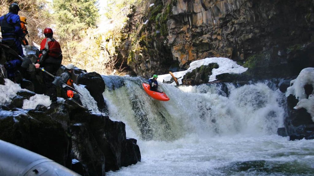
Photo courtesy of American Whitewater
Description
Historically, many boaters would take out at the highway, forgoing the final series of gradient. Less adventurous boaters (or those who may have 'bitten off a bit more than they could chew' and who have been somewhat beaten-up by the river on their chosen day) may still wish to use this spot to get out.
Most boaters will want to continue under the highway and the railroad bridges (through random small ledges and wrapping waves) for a fantastic finish to the run.
Location
Interactive river map
Loads as you approach this section.
View Full Run
Mead Rd to Lake Superior (L'Anse) (2 miles)
Falls
III-IV+
2.3 mi
Current Conditions
5-Day Forecast
Whitewater data from
American Whitewater
American Whitewater