Dam Drop
Save this feature with the run it belongs to.
Gauge Conditions
Runnable: 200.0 – 500.0 CFS
Almost certainly too low for reasonable whitewater run.
Data from American Whitewater & USGS
Photo
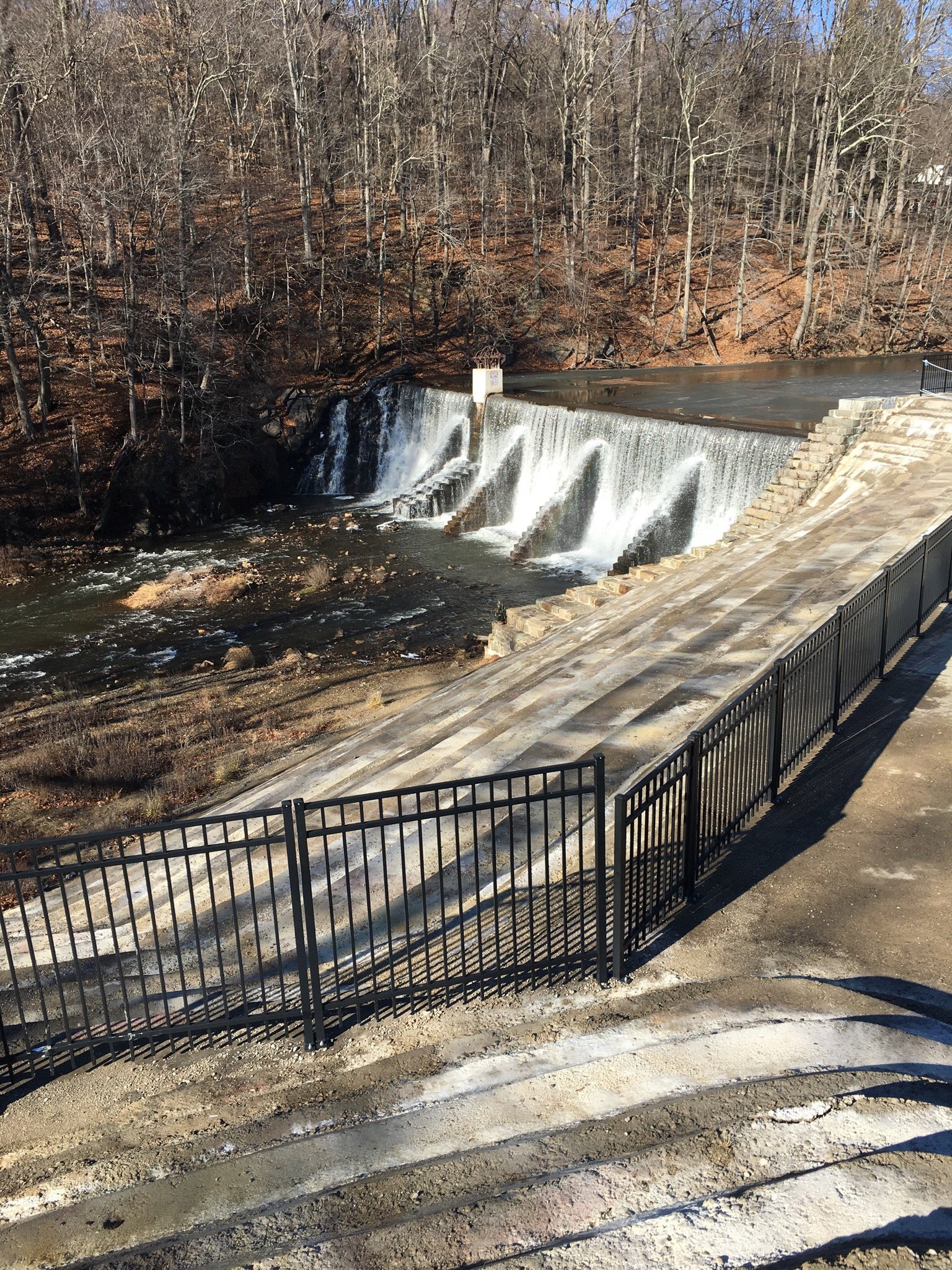
Photo courtesy of American Whitewater
Description
The final drop is an old dam. The shoulders of the dam remain (to left and right), so all water (at most flows) pours through a center notch and lands on reasonably 'cushioned' bedrock below. You will be pushed hard to the left, toward a wall of rock, and rebound to trip downstream over a few remaining small ledges, waves, and holes. The shores through here are vertical metal walls, until passing under a small bridge and out into the bay, where a beach allows easy exit from the river.
Location
Interactive river map
Loads as you approach this section.
Other Rapids on This Run (10)

View Full Run
Mead Rd to Lake Superior (L'Anse) (2 miles)
Falls
III-IV+
2.3 mi
Current Conditions
5-Day Forecast
Whitewater data from
American Whitewater
American Whitewater