Rapid
IL
Gabion Weirs
Save this feature with the run it belongs to.
Gauge Conditions
Runnable: 34.0 – 200.0 CFS
Almost assuredly too low. (Likely under 50 cfs.) Visual confirmation is required.
Primary
Runnable: 50.0 – 250.0 CFS
Likely too low for any whitewater.
Data from American Whitewater & USGS
Photo
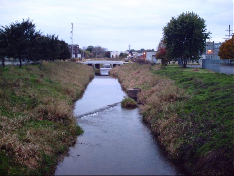
Photo courtesy of American Whitewater
Description
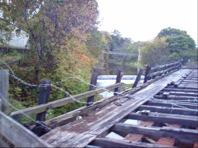
The channelized stretch of this stream has a series of gabions (think chain-link fence 'boxes', filled with rock rubble) probably for erosion control in the streambed and/or concrete strips (probably protecting utility pipes passing under the streambed). While they appear as 'falls' or 'pourover rapids' on the low-flow satellite views on Google, at what would be boatable flows I expect these would be completely covered and probably create little more than riffles (though this is just conjecture unsupported by direct observation).
Location
View Full Run
Levings Lake to Rock River (2.37 miles)
Kent Creek, S.Fk.
II(III)
2.5 mi
Current Conditions
5-Day Forecast
Whitewater data from
American Whitewater
American Whitewater