Waterfall
MI
Lower Falls
Save this feature with the run it belongs to.
Gauge Conditions
Runnable: 200.0 – 500.0 CFS
Almost certainly too low for reasonable whitewater run.
Data from American Whitewater & USGS
Photo

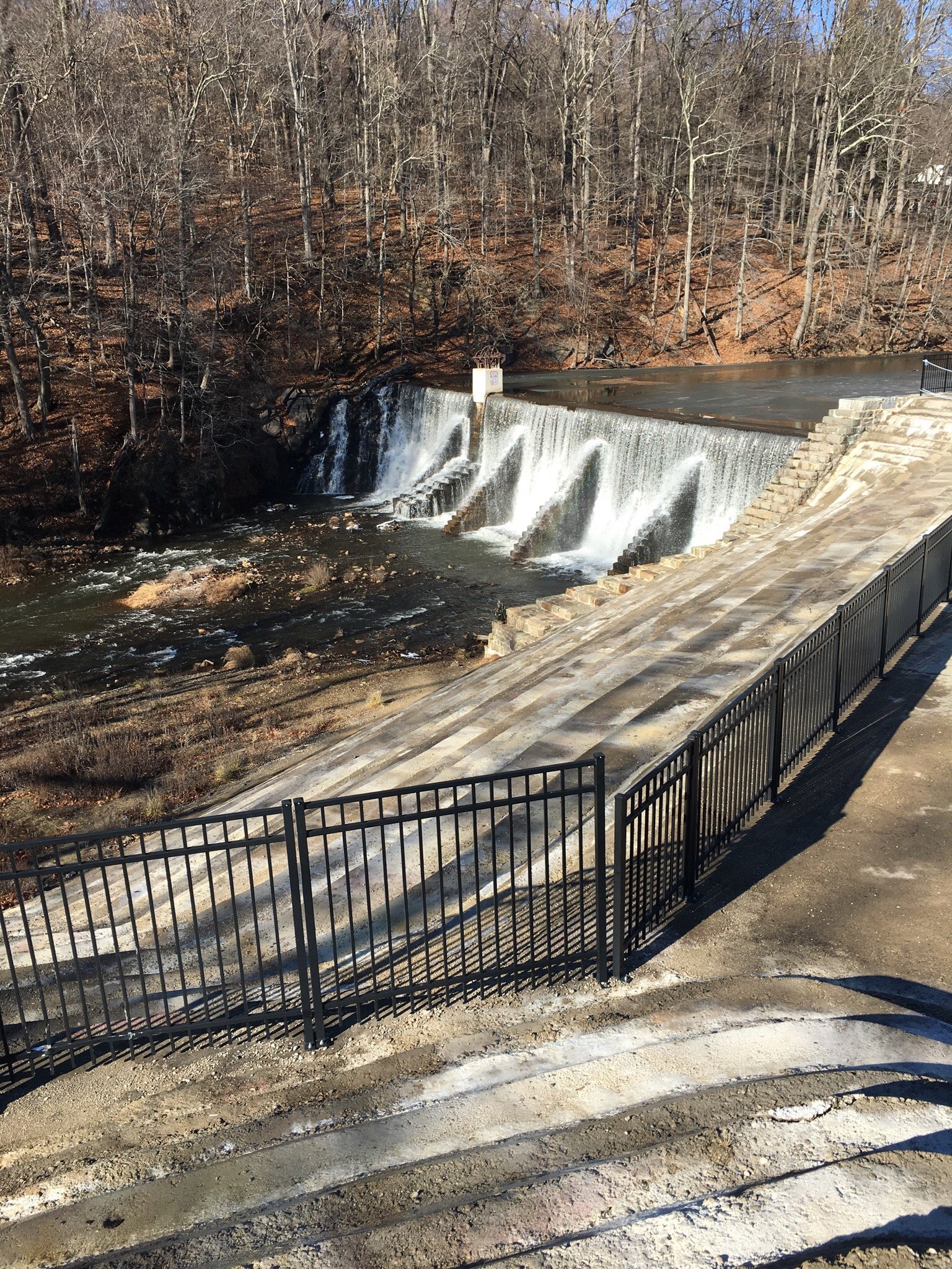
Photo courtesy of American Whitewater
Description
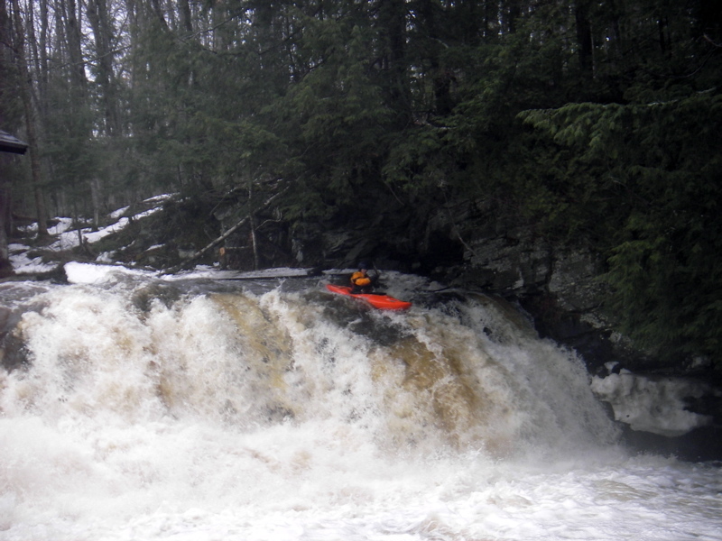
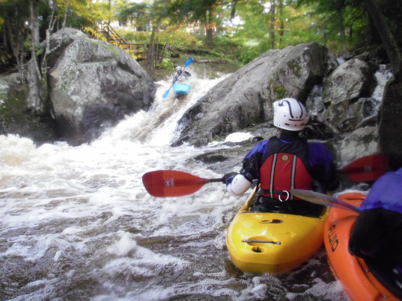
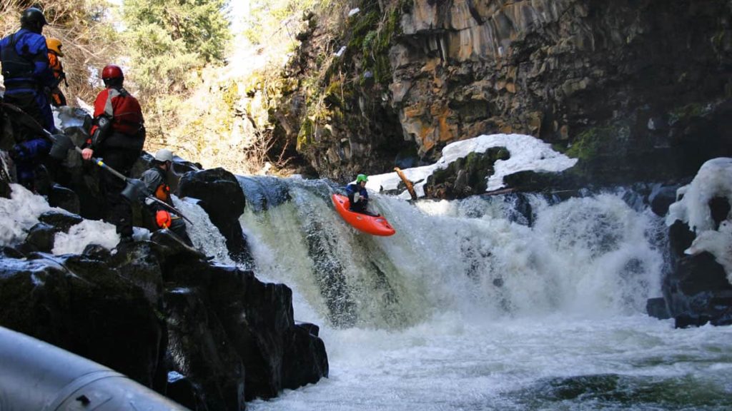
A brief rest brings up a second, lower-angle, round-the-bend (to the left) slide. Usual route on this is trying to stay to the center, angling to the left as the drop sweeps 'round the bend. Alternate route (with adequate water) is to stay to the right partway down, to drop a boof at the end.
Location
Interactive river map
Loads as you approach this section.
View Full Run
Mead Rd to Lake Superior (L'Anse) (2 miles)
Falls
III-IV+
2.3 mi
Current Conditions
5-Day Forecast
Whitewater data from
American Whitewater
American Whitewater