Power House Falls
Save this feature with the run it belongs to.
Gauge Conditions
Runnable: 200.0 – 500.0 CFS
Almost certainly too low for reasonable whitewater run.
Data from American Whitewater & USGS
Photo
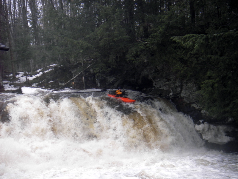
Photo courtesy of American Whitewater
Description
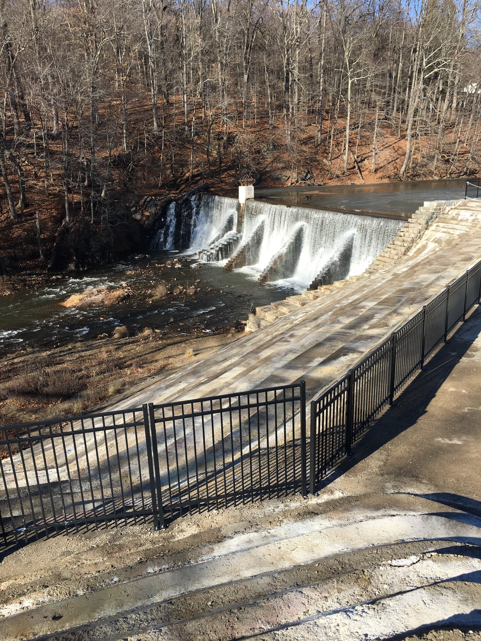
A long, usually shallow/grungy lead-in rapids pitches increasingly downward leading to the site of the powerhouse immediately on the river-right bank. The first of the more 'significant' falls lies immediately adjacent to the old building. Center and river-right all have broken pitch dropping mostly onto shallow rock, and are therefore highly recommended to avoid. River-left above the falls is a small eddy from which one can 'stage' to take a few quick strokes and 'boof' the falls.
Location
Interactive river map
Loads as you approach this section.



View Full Run
Mead Rd to Lake Superior (L'Anse) (2 miles)
Falls
III-IV+
2.3 mi
Current Conditions
5-Day Forecast
Whitewater data from
American Whitewater
American Whitewater