Put-in
MI
Put In
Save this feature with the run it belongs to.
Gauge Conditions
Runnable: ? – ? CFS
Approximate - nearest available gauge. Use as general reference only.
Data from American Whitewater & USGS
Photo
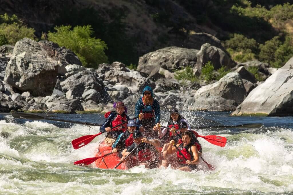
Photo courtesy of American Whitewater
Description
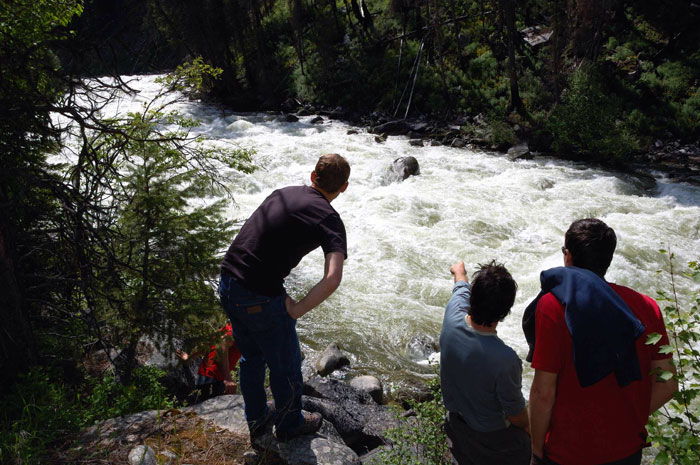
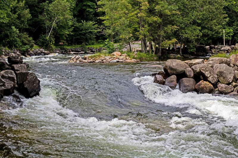
The Put In rapid marks the entry point for this section of the Escanaba's West Branch, offering paddlers an initial navigation challenge through a mixed boulder field with potential for tight maneuvering. While specific difficulty is undetermined, boaters should anticipate potential channel constrictions and carefully scout the entry line to identify the cleanest route through rock clusters and potential hydraulic features.
Location
Interactive river map
Loads as you approach this section.
View Full Run
Co.Rd.EEX to Co.Rd.SW (5.9 miles)
Escanaba, W.Br.
II
5.6 mi
Current Conditions
5-Day Forecast
Whitewater data from
American Whitewater
American Whitewater