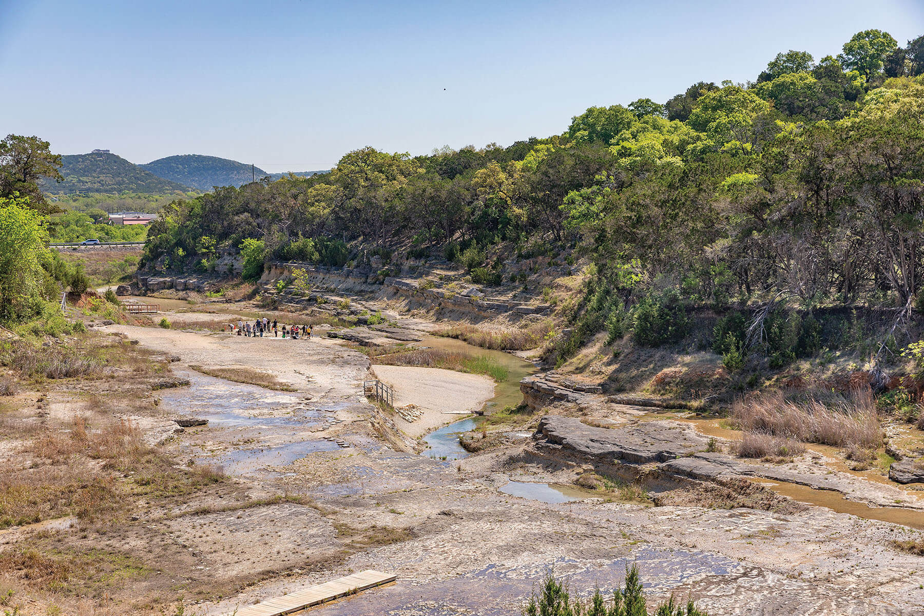
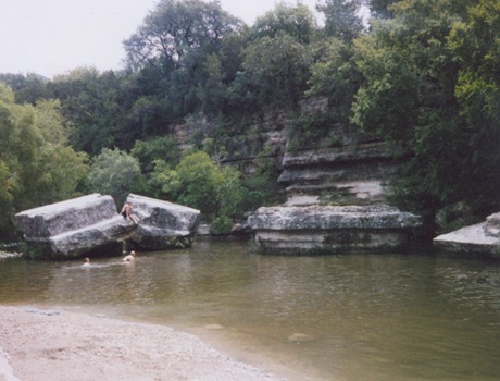
Put-in
TX
Spicewood Springs Road Low-Water Crossing
Save this feature with the run it belongs to.
Gauge Conditions
Data from American Whitewater & USGS
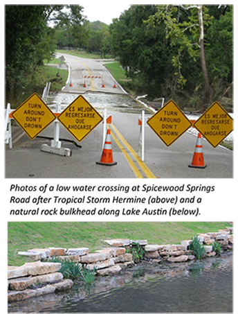
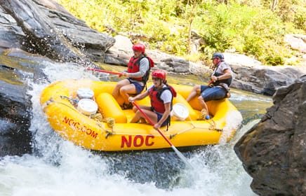
Photo

Photo courtesy of American Whitewater
Description
If the creek is worth running, then this crossing will probably be closed. Coming from 360, parking is available in the grass on the right-hand side of the road before the crossing (this is public land.)
Beta from paddlers suggests that a hike may now be required in order to reach this put-in, since the City of Austin has, during heavy rains, apparently begun closing off Spicewood Springs Rd. some distance away from the crossing.
Location
View Full Run
Spicewood Springs Road to RM 2222 (3.3 miles)
Bull Creek
II-III
3.4 mi
Current Conditions
5-Day Forecast
Whitewater data from
American Whitewater
American Whitewater