Take-out
IN
Take Out
Save this feature with the run it belongs to.
Gauge Conditions
Runnable: 600.0 – 1,600.0 CFS
Almost assuredly too low.
Data from American Whitewater & USGS
Photo

Photo courtesy of American Whitewater
Description
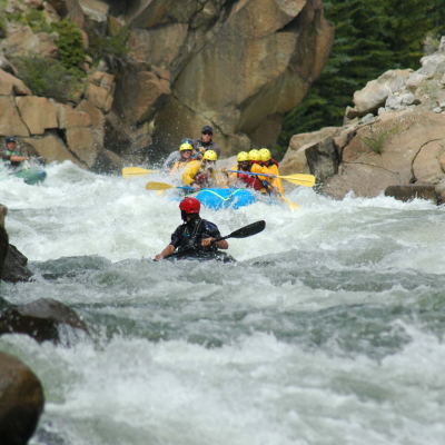
Take Out rapid marks the end of the Mud Pine Creek run, signaling the transition from the creek's technical maneuvering to the takeout point. While specifics are limited, paddlers should be prepared for potential shallow sections, submerged obstacles, and the need for precise boat positioning as they approach the exit point at Big Pine Creek.
Location
Other Rapids on This Run (2)
View Full Run
Briscoe Rd to Big Pine Creek (2.1 miles)
Mud Pine Creek
I-II(III)
2.3 mi
Current Conditions
5-Day Forecast
Whitewater data from
American Whitewater
American Whitewater