Take-out
KY
Take Out
Save this feature with the run it belongs to.
Gauge Conditions
Runnable: 300.0 – 1,500.0 CFS
Almost certainly too low for decent whitewater run. (We welcome your input if you differ with this characterization.)
Data from American Whitewater & USGS
Photo
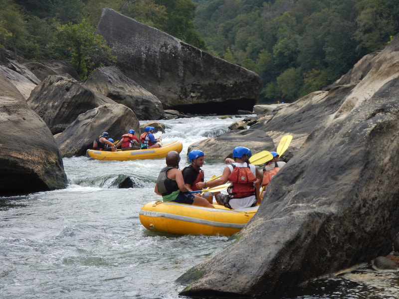
Photo courtesy of American Whitewater
Description
Take Out rapid serves as the terminal section of this creek run, marking the end of the 5-mile descent before merging with Doe Run. Limited information is available about specific features, suggesting this may be an infrequently paddled or less documented section of Banklick Creek. Paddlers should exercise caution and scout thoroughly given the lack of definitive rapid characteristics.
Location
Other Rapids on This Run (1)
View Full Run
Independence Station Road to Doe Run confluence (5 miles)
Banklick Creek
II-III
5.0 mi
Current Conditions
5-Day Forecast
Whitewater data from
American Whitewater
American Whitewater