Take-out
IN
Take Out
Save this feature with the run it belongs to.
Gauge Conditions
Runnable: ? – ? CFS
Approximate - nearest available gauge. Use as general reference only.
Data from American Whitewater & USGS
Photo
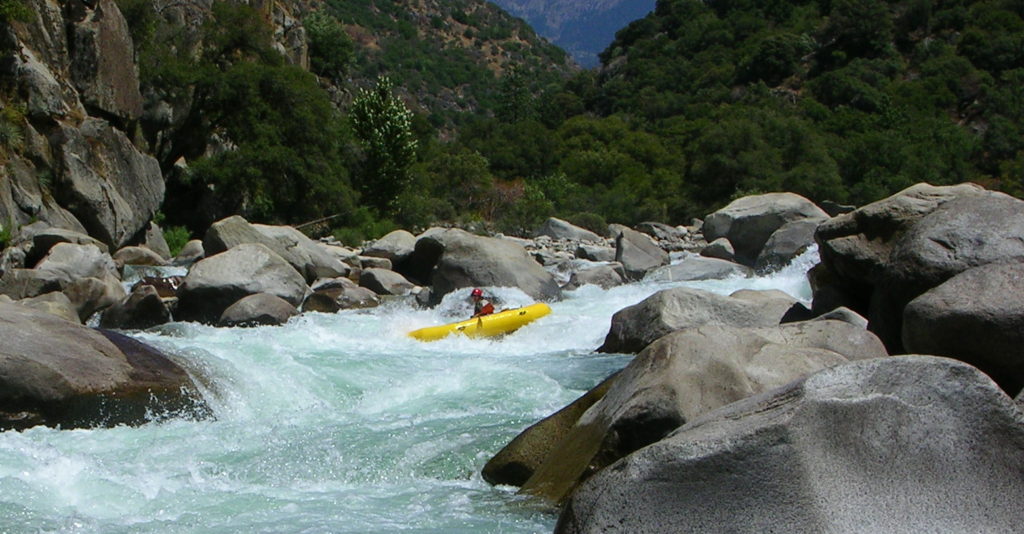
Photo courtesy of American Whitewater
Description
Take Out rapid marks the end of the Middle Fork's most technical section, featuring a tight, boulder-strewn channel that requires precise maneuvering to avoid potential pin spots and undercut rocks. Paddlers should scout carefully and choose their line strategically, as the rapid's narrow constriction can create unexpected hydraulics and limited recovery options.
Location
Other Rapids on This Run (2)
View Full Run
Middle Fork (1.5 miles)
Fall Fork (of Clifty Creek)
I-II(III)
1.6 mi
Current Conditions
5-Day Forecast
Whitewater data from
American Whitewater
American Whitewater