Take-out
TX
Take Out
Save this feature with the run it belongs to.
Gauge Conditions
Runnable: 300.0 – 3,000.0 CFS
Best boatable levels uncertain. Help us out! Add a comment or 'report'.
Data from American Whitewater & USGS
Photo
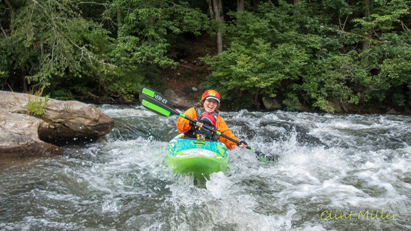
Photo courtesy of American Whitewater
Description
This section of the Brazos appears to be an unrun, uncharted stretch with no known kayaking descents, suggesting significant route-finding challenges and potential unmarked hazards. While detailed information is scarce, paddlers would need to be prepared for potential unrunnable sections, unpredictable water conditions, and the likelihood of complex navigation through an unexplored river segment. Extreme caution and thorough scouting would be essential for any expedition attempting to navigate this remote and uncharted stretch.
Location
Other Rapids on This Run (1)

View Full Run
Slaton to SH 207 (22 miles)
Brazos, Double Mtn Fk, N Fk (no known descents)
II
30.6 mi
Current Conditions
5-Day Forecast
Whitewater data from
American Whitewater
American Whitewater