Take-out
MI
Take Out
Save this feature with the run it belongs to.
Gauge Conditions
Runnable: ? – ? CFS
Approximate - nearest available gauge. Use as general reference only.
Data from American Whitewater & USGS
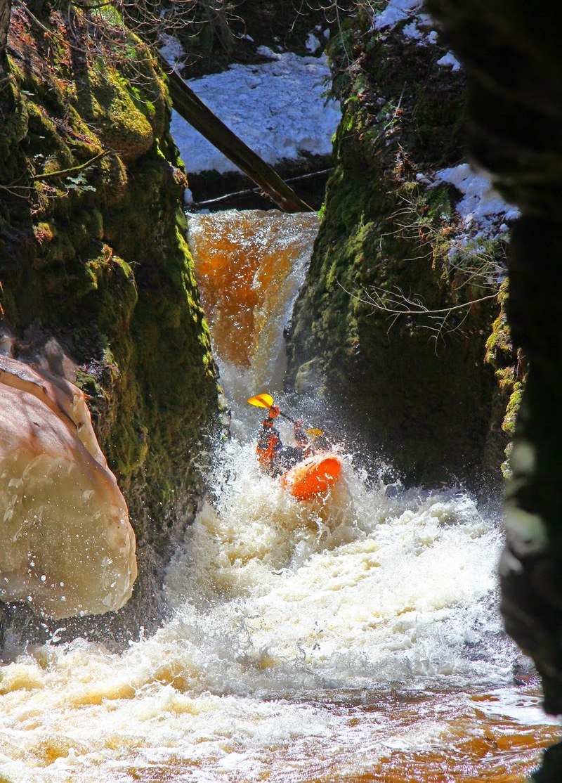
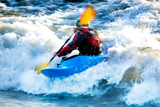
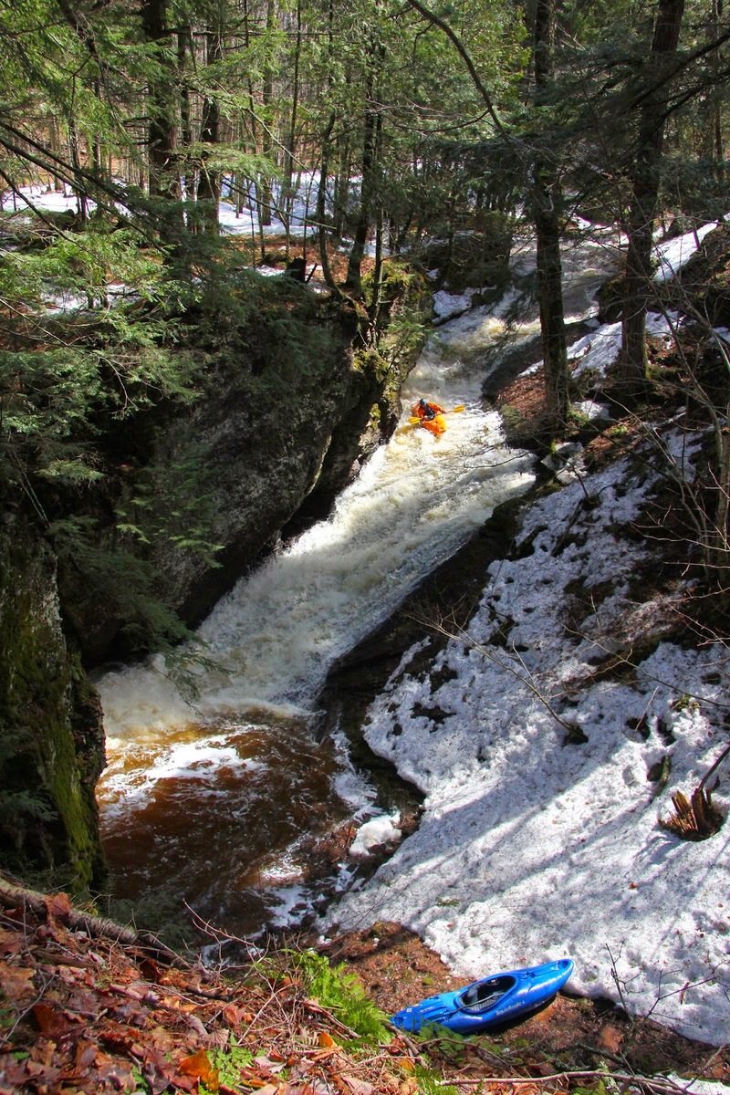
Photo
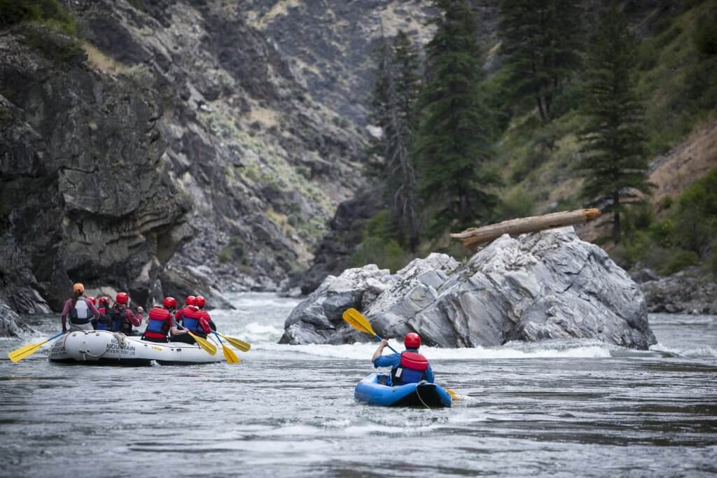
Photo courtesy of American Whitewater
Description
Take Out rapid on Maple Creek presents limited beta, with no definitive difficulty rating or specific hazard details currently documented. Paddlers should expect potential obstacles typical of an unrated logging road section, including potential debris, unknown water levels, and potential navigational challenges requiring careful scouting and local knowledge.
Location
Other Rapids on This Run (3)
View Full Run
Unknown/unnamed logging road to Maple Creek Road (up to 1.8 miles)
Maple Creek
IV
1.8 mi
Current Conditions
5-Day Forecast
Whitewater data from
American Whitewater
American Whitewater