Put-in
MI
Put In
Save this feature with the run it belongs to.
Gauge Conditions
Runnable: 120.0 – 420.0 CFS
Likely too low for reasonable whitewater run. (We need your input! Add a comment about gauge reading and corresponding runnability/difficulty of this run.)
Data from American Whitewater & USGS
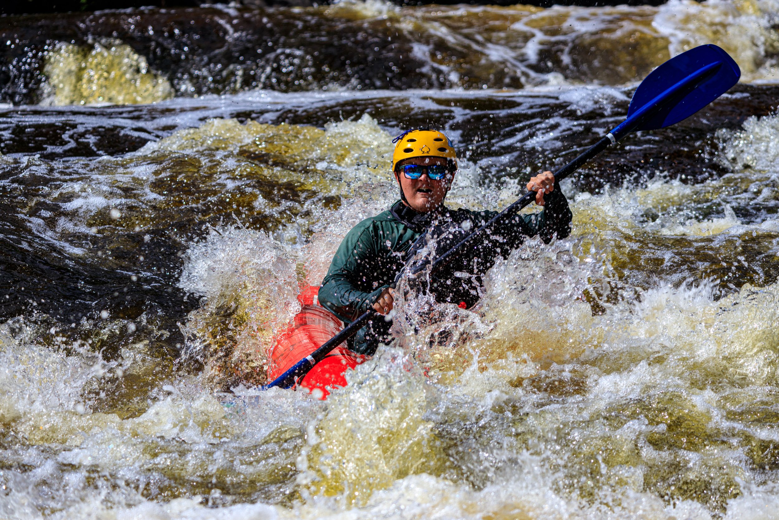
Photo
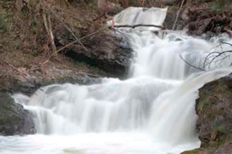
Photo courtesy of American Whitewater
Description
The Put In rapid marks the start of the Lower Carp section, featuring a straightforward entry with minimal technical challenges. Paddlers should be aware of potential shallow areas and scattered rock gardens that may require precise maneuvering, especially during low water conditions. While not a high-difficulty rapid, attentive navigation is recommended to avoid potential boat or gear damage.
Location
Interactive river map
Loads as you approach this section.
Other Rapids on This Run (1)
View Full Run
C) 'Lower': CR553 (Marquette Mtn.) to Hwy.41 (2.0 miles)
Carp (Marquette)
II-III
1.7 mi
Current Conditions
5-Day Forecast
Whitewater data from
American Whitewater
American Whitewater