Take-out
ID
Take Out
Save this feature with the run it belongs to.
Gauge Conditions
Runnable: ? – ? CFS
Approximate - nearest available gauge. Use as general reference only.
Data from American Whitewater & USGS
Photo
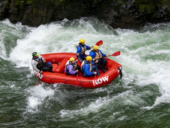
Photo courtesy of American Whitewater
Description
Take Out rapid marks the end of this river section, featuring a straightforward exit point with potential shallow rocky areas near the confluence. Paddlers should be aware of potential debris and shifting water dynamics as the North Fork meets the main St. Joe River, requiring careful boat positioning and momentum management during the transition.
Location
Other Rapids on This Run (1)
View Full Run
1. Loop Creek to St. Joe Confluence
St. Joe, N. Fork
III
11.0 mi
Current Conditions
5-Day Forecast
Whitewater data from
American Whitewater
American Whitewater