Take-out
MI
Take Out
Save this feature with the run it belongs to.
Gauge Conditions
Runnable: ? – ? CFS
Approximate - nearest available gauge. Use as general reference only.
Data from American Whitewater & USGS
Photo
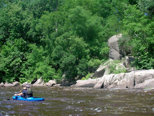
Photo courtesy of American Whitewater
Description
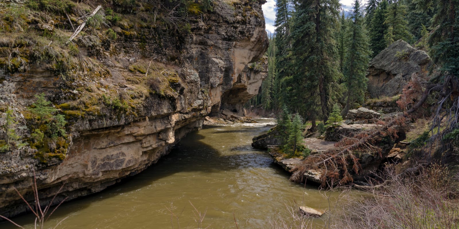
Limited information is available about this specific rapid's characteristics. The Take Out rapid is located on Michigan's Black River tributary below Goose Lake, with an unspecified difficulty rating that suggests paddlers should approach with caution and scout before running. Local river conditions and water levels will significantly impact the rapid's navigability and potential hazards.
Location
Interactive river map
Loads as you approach this section.
Other Rapids on This Run (20)
 Rapid
II
Rapid
II
Rocky Rips
 Rapid
N/A
Rapid
N/A
Put In
 Rapid
II
Rapid
II
Brief Rips
Rapid
II
Republic-Champion Grade Trail
 Rapid
N/A
Rapid
N/A
M95 Bridge
Rapid
N/A
Rocky Rips
Rapid
II
Rocky Rips
 Rapid
II+
Rapid
II+
Long Narrows
 Hazard
N/A
Hazard
N/A
Co.Rd.601
 Rapid
N/A
Rapid
N/A
USGS sampling site
 Rapid
I
Rapid
I
LS&I
 Rapid
N/A
Rapid
N/A
Co.Rd.Ffk
 Rapid
N/A
Rapid
N/A
Greenwood Reservoir Road
Rapid
N/A
USGS sampling site
Rapid
N/A
Brief Rips
 Rapid
I
Rapid
I
Rips
 Rapid
N/A
Rapid
N/A
Private footbridge
 Rapid
N/A
Rapid
N/A
Islands/rips
 Rapid
N/A
Rapid
N/A
Wave and rips
 Rapid
N/A
Rapid
N/A
Co.Rd.Ffw
View Full Run
Below Goose Lake to powerlines below Co.Rd.Fw (up to 9.34 miles)
Black (M.Br.Escanaba trib)
I-II(III)
8.2 mi
Current Conditions
5-Day Forecast
Whitewater data from
American Whitewater
American Whitewater