Take-out
TX
Take Out
Save this feature with the run it belongs to.
Gauge Conditions
Runnable: 200.0 – 2,000.0 FT
Best boatable levels uncertain. Help us out! Add a comment or 'report'.
Data from American Whitewater & USGS
Photo
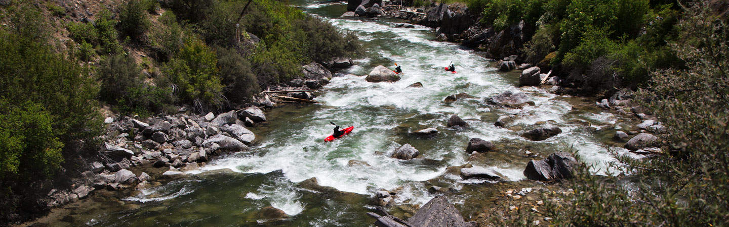
Photo courtesy of American Whitewater
Description
Take Out rapid serves as the terminal point for this 17-mile Childress Creek run, marking the end of the paddling section near FM 2490. While specific technical details are limited, the rapid likely requires careful navigation as paddlers approach the takeout point, potentially with potential for strainers, debris, or complex water flow depending on current conditions.
Location
Other Rapids on This Run (1)
View Full Run
Cayote (FM 56) to FM 2490 (17 miles)
Childress Creek
II-III
13.7 mi
Current Conditions
5-Day Forecast
Whitewater data from
American Whitewater
American Whitewater