Take-out
ME
Take Out
Save this feature with the run it belongs to.
Gauge Conditions
Runnable: ? – ? CFS
Approximate - nearest available gauge. Use as general reference only.
Data from American Whitewater & USGS
Photo
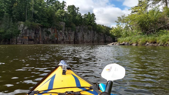
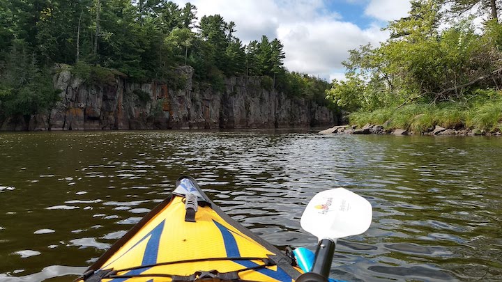
Photo courtesy of American Whitewater
Description
Take Out marks the final navigable section before the confluence with the Aroostook River, characterized by a tight channel with moderate gradient and scattered boulder gardens. Paddlers should be prepared for potential wood hazards and read-and-run navigation, with careful boat positioning required to avoid potential pin spots in the rocky terrain.
Location
Interactive river map
Loads as you approach this section.
Other Rapids on This Run (1)
View Full Run
Howe Brook to Aroostook River
St. Croix Stream
I-II
19.7 mi
Current Conditions
5-Day Forecast
Whitewater data from
American Whitewater
American Whitewater