Take-out
ME
Take Out
Save this feature with the run it belongs to.
Gauge Conditions
Runnable: ? – ? CFS
Approximate - nearest available gauge. Use as general reference only.
Data from American Whitewater & USGS
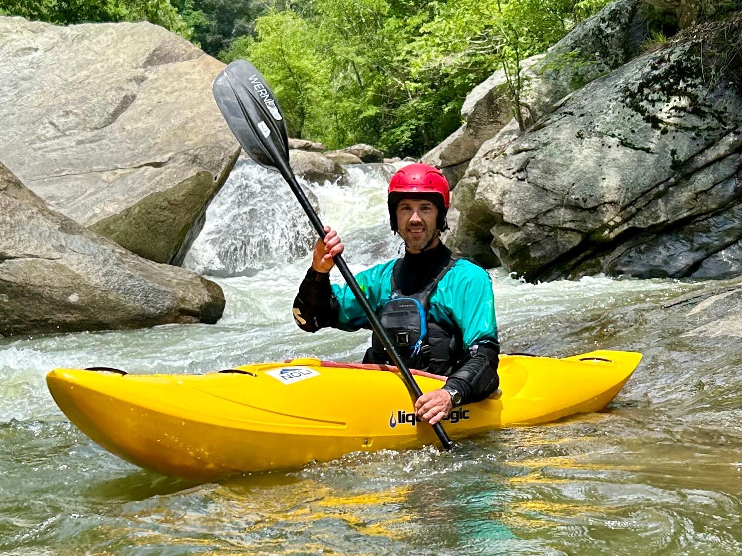
Photo
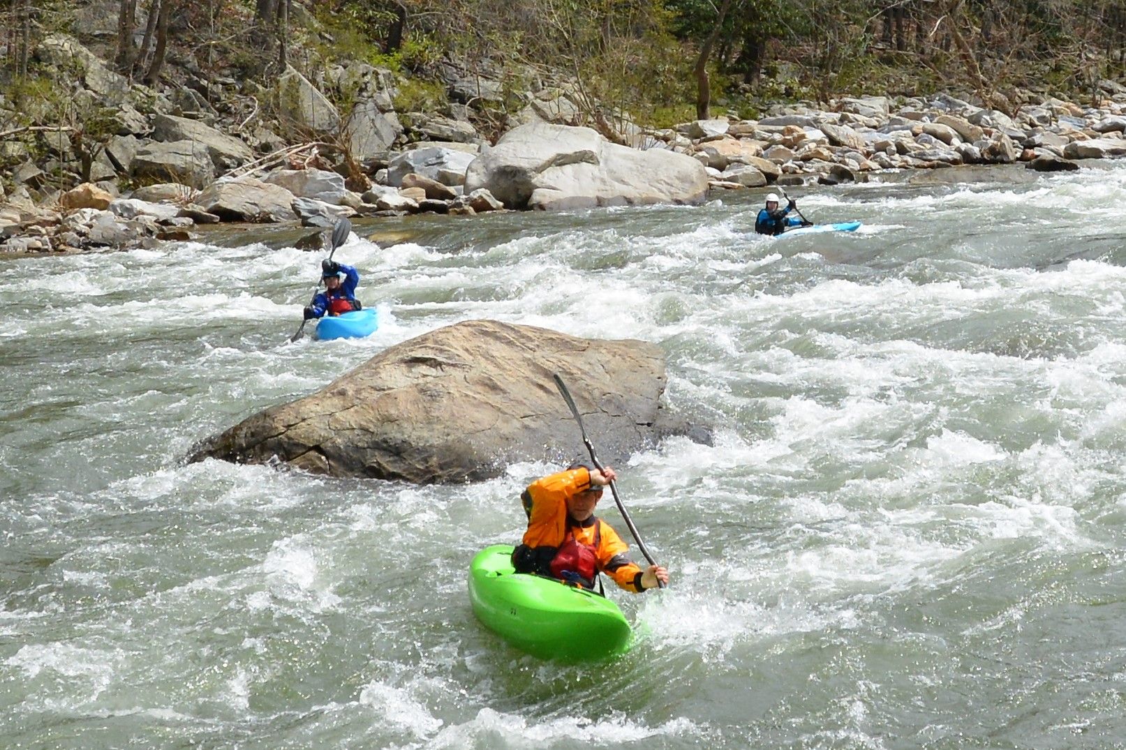
Photo courtesy of American Whitewater
Description
Take Out rapid on the East Branch of the Union River presents a navigational challenge with its tight approach and potential for hidden obstacles. Paddlers should be prepared for potential shifting rocks and unpredictable water levels that can quickly change the rapid's character, particularly during lower flow conditions. While specifics of the rapid's exact features are limited, careful scouting and local knowledge are recommended before attempting this section.
Location
Interactive river map
Loads as you approach this section.
Other Rapids on This Run (1)
View Full Run
Steep Landing 14.4 mi to Route 179 and 5.0 mi to West Branch
Union, E. Branch
I-II
28.9 mi
Current Conditions
5-Day Forecast
Whitewater data from
American Whitewater
American Whitewater