Take-out
ME
Take Out
Save this feature with the run it belongs to.
Gauge Conditions
Runnable: ? – ? CFS
Approximate - nearest available gauge. Use as general reference only.
Data from American Whitewater & USGS
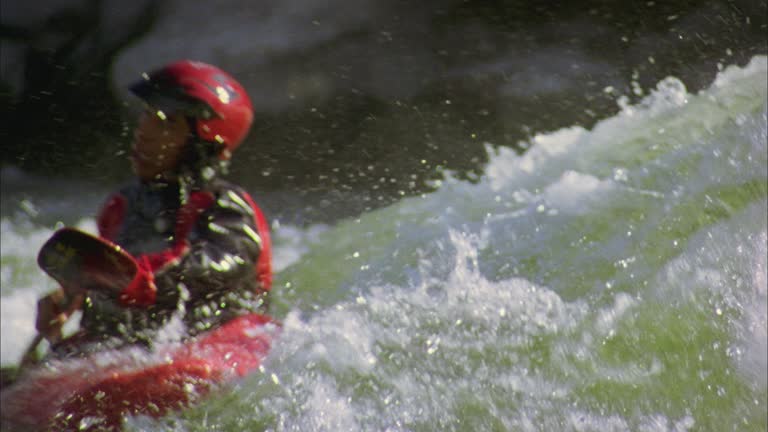
Photo
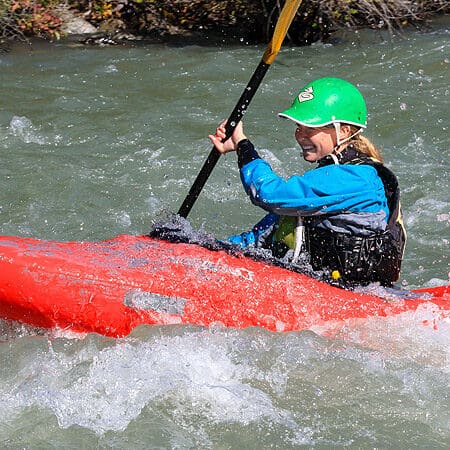
Photo courtesy of American Whitewater
Description
Take Out marks the end of the Wytopitlock Stream run, transitioning paddlers from moving water to the confluence with the Mattawamkeag River. Limited information is available about specific technical features, suggesting this section may require local knowledge and careful scouting. Paddlers should be prepared for potential unmarked hazards and assess water levels and conditions before attempting this stretch.
Location
Interactive river map
Loads as you approach this section.
Other Rapids on This Run (1)
View Full Run
Wytopitlock Lake to Mattawamkeag River
Wytopitlock Stream
I-II
17.5 mi
Current Conditions
5-Day Forecast
Whitewater data from
American Whitewater
American Whitewater