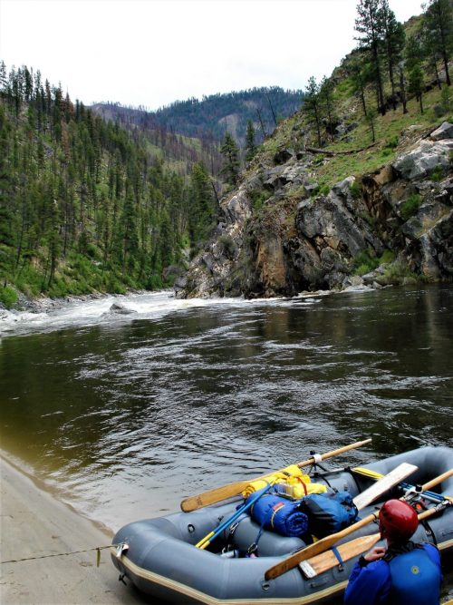
Whitewater Features
Explore mapped rapids, waterfalls, playspots, hazards, and portages across the United States.
24,753
Total Features
21,352
Rapids
855
Waterfalls
927
Playspots
1,513
Hazards
106
Portages
Choose a category to filter the map and list.
Map view
Whitewater features at a glance
Use category totals as filters, then open a marker for feature and river context.
Loading...
Map Legend
Rapids
Waterfalls
Playspots
Hazards
Portages
Rivers
Directory results
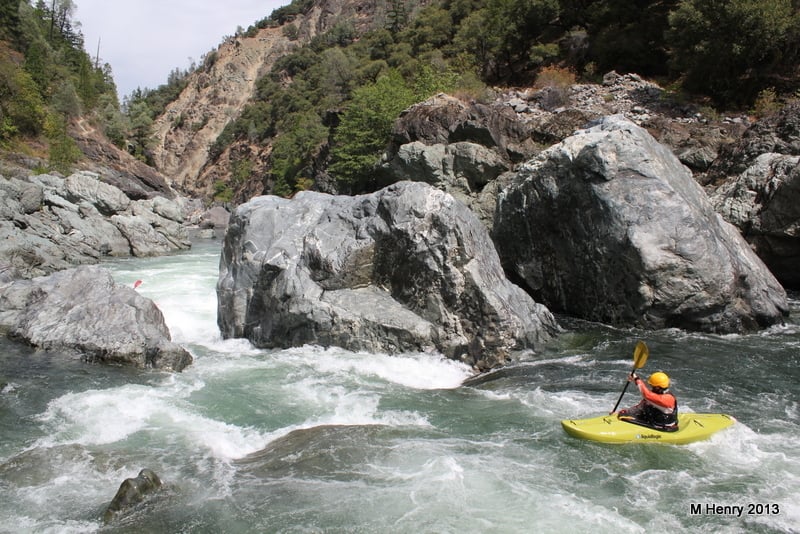
Rapids and river features
Difficulty and feature badges summarize the available source record.
California 24 features
Tight Squeeze
Rapid
IV+
Upper Burnt Ranch Falls
Rapid
V
Put-in
Rapid
N/A
Take Out
Rapid
N/A
East Fork Road Bridge
Rapid
N/A
East Fork Road Bridge
Rapid
N/A
NF Trinity River Confluence
Rapid
N/A
Put-in
Rapid
N/A
Grizzly Creek Confluence
Rapid
N/A
Hobo Drop
Rapid
III
Hobo Gulch Campground
Rapid
N/A
Put In
Rapid
N/A
Rattlesnake Creek Confluence
Rapid
N/A
Take Out
Rapid
N/A
Broken Bridge Put-in
Rapid
N/A
Broken Bridge Take-out
Rapid
N/A
Highway 299 Take-out
Rapid
N/A

Put In
Rapid
N/A

Put In
Rapid
N/A

Put In
Rapid
N/A

Put In
Rapid
N/A

Put In
Rapid
N/A
Sandy Bar Alternate Take-out
Rapid
N/A
Surprise Falls Put-in
Rapid
N/A