Access Sites
Find mapped boat ramps, launches, and public water access points across the United States.
44,009
Total Sites
24
Loaded
51
Regions
Map view
Explore nearby access
Pan or zoom to load the sites in view, then open a marker for details and directions.
Interactive access map
Loads after the directory is visible.
Loading...
Navigation Tips
- Zoom in to load more sites in your area of interest
- Click on clusters (numbered circles) to zoom into that area
- Click on individual markers for site details and directions
- Use scroll wheel or pinch to zoom, drag to pan
Directory results
Loaded access sites
The list reflects the current page and can be narrowed with the search field.
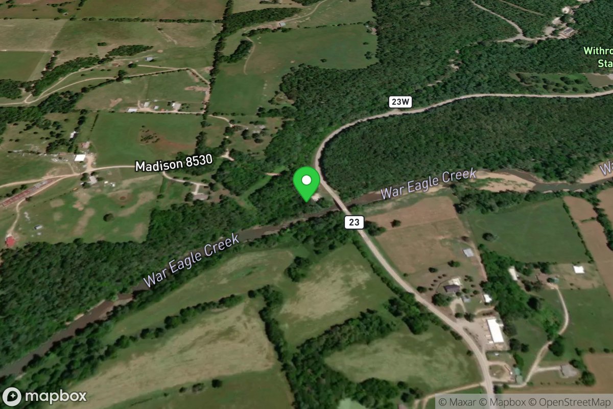
Withrow Springs State Park Access
Access Site
War Eagle Creek
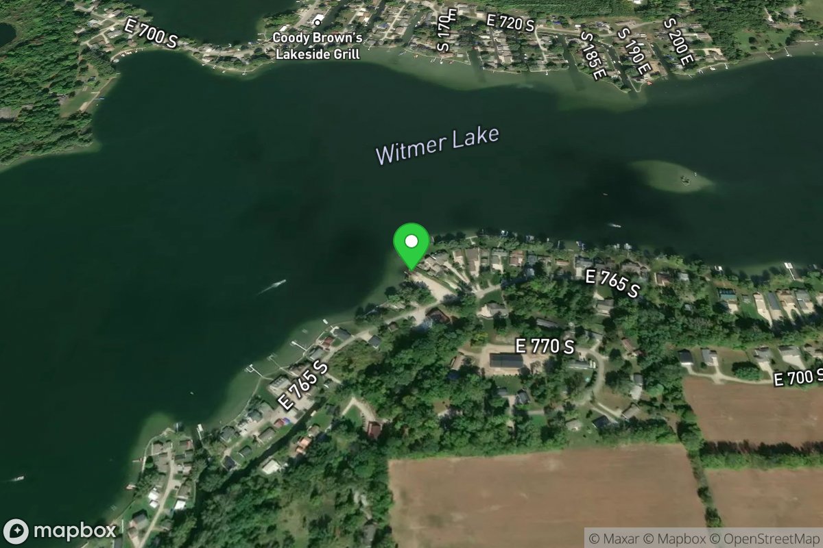
Witmer Lake
Access Site
Witmer Lake
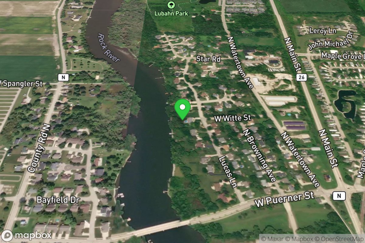
Witte Drive-Lucas Lane
Access Site
Rock River
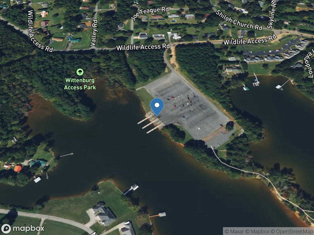
Wittenburg
Access Site
Catawba River
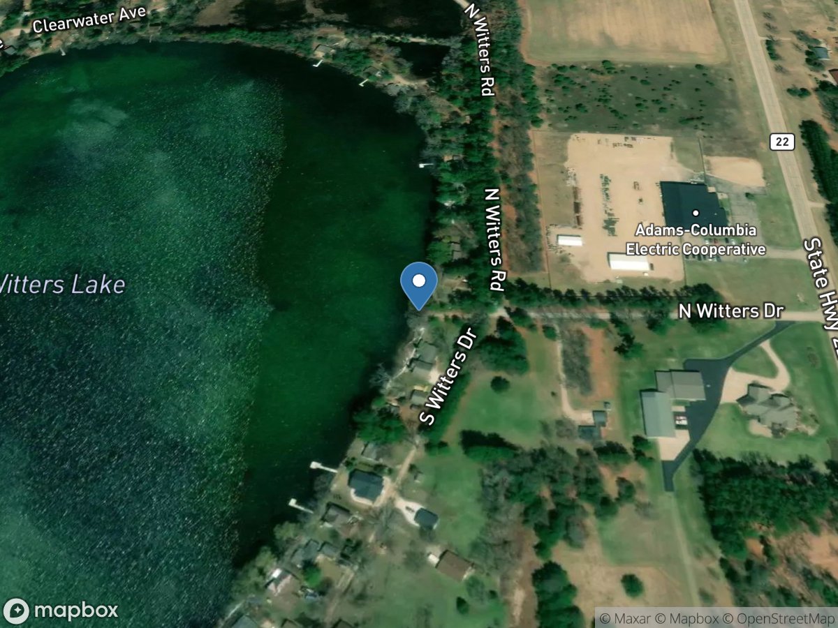
Witters Lake
Access Site
Witters Lake
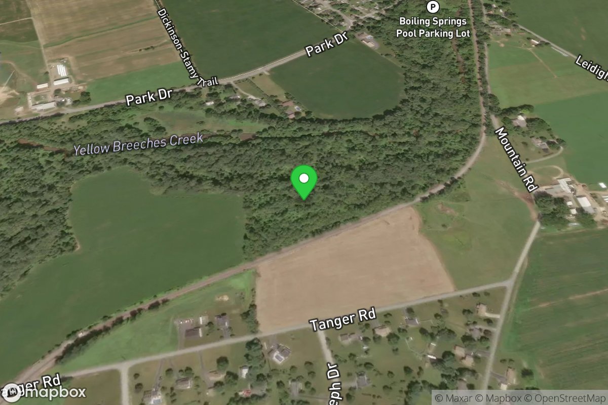
Wittlinger Preserve
Access Site
Yellow Breeches Creek
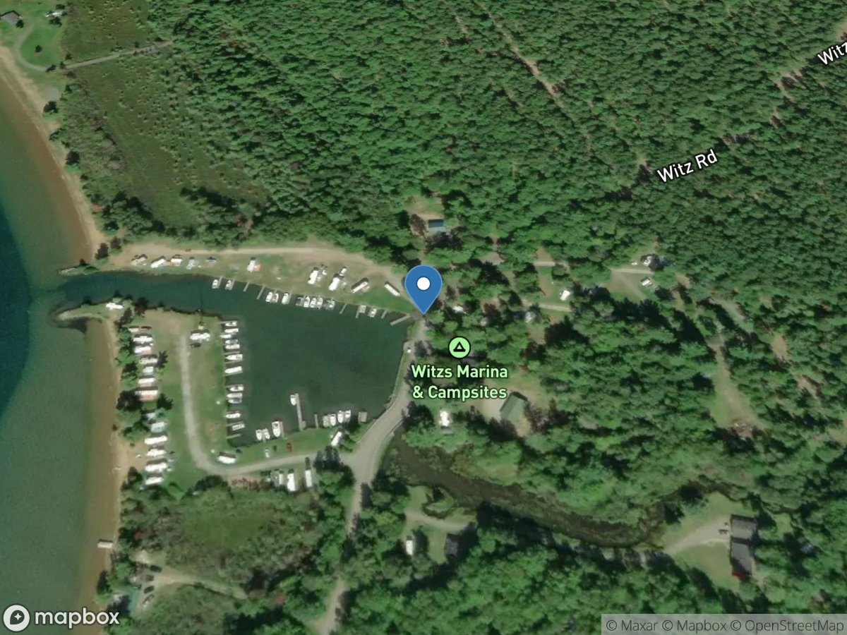
Witz Marina and Campground
Access Site
Lake Superior - Huron Bay
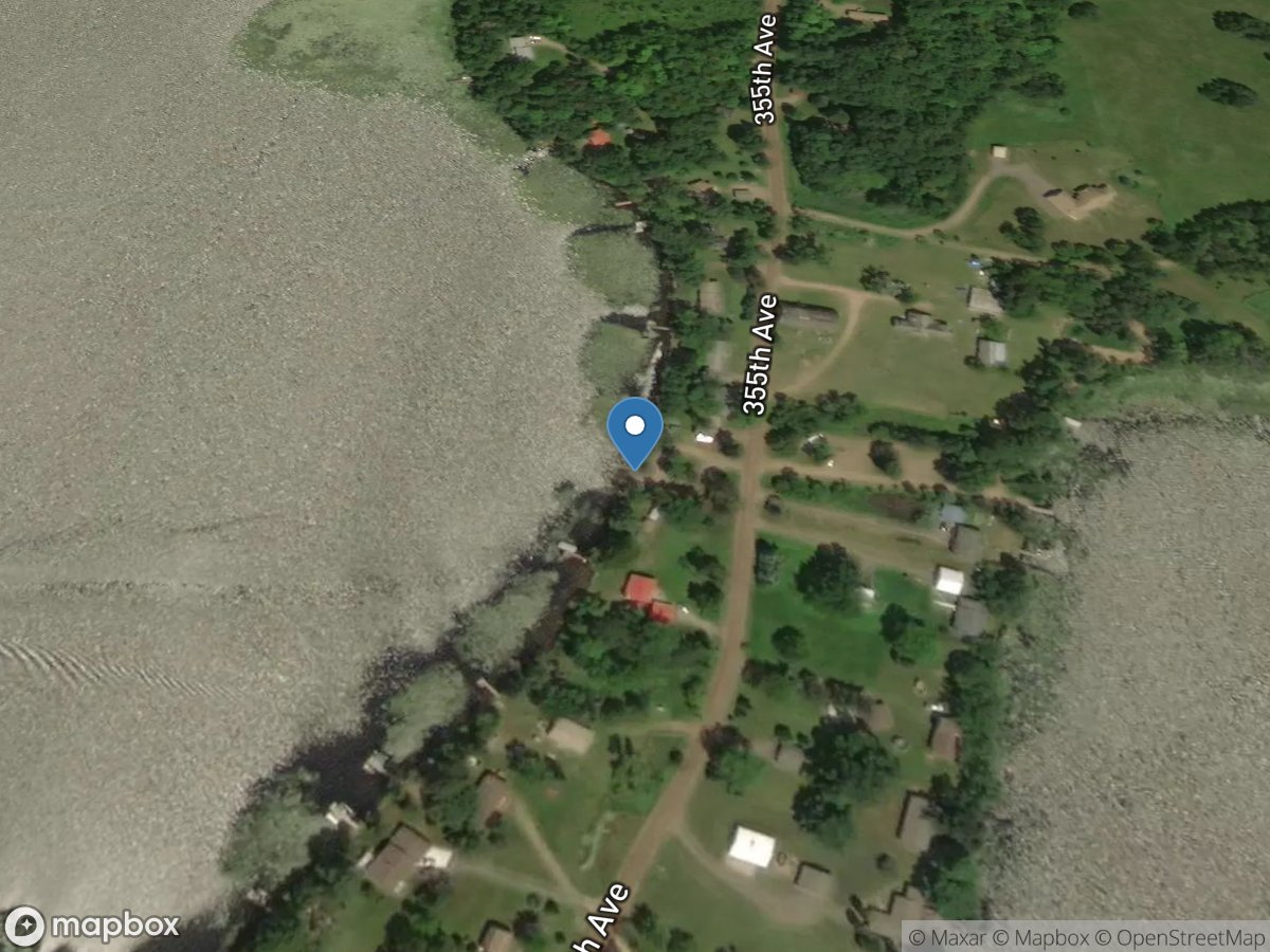
Wladimiraf Lake
Access Site
Section Ten Lake
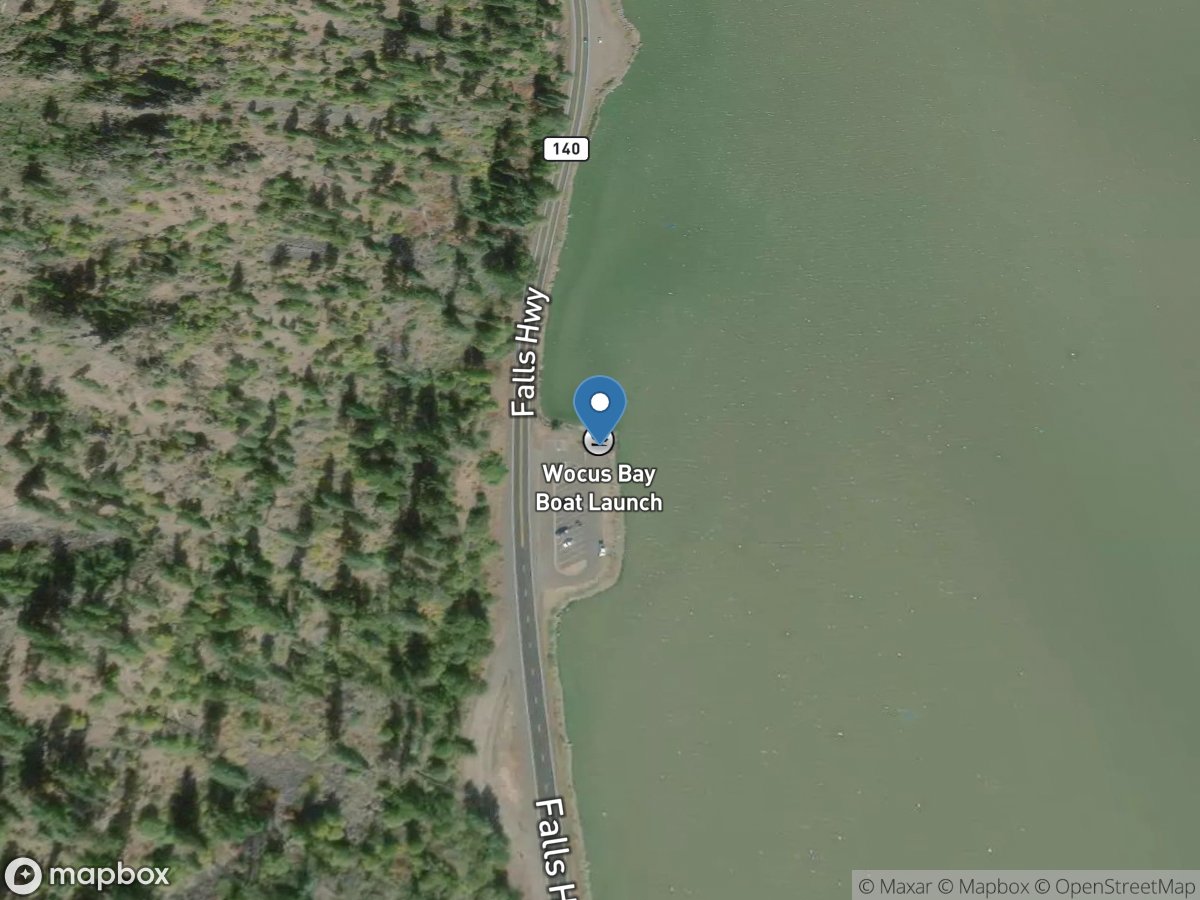
Wocus Bay
Access Site
Upper Klamath Lake
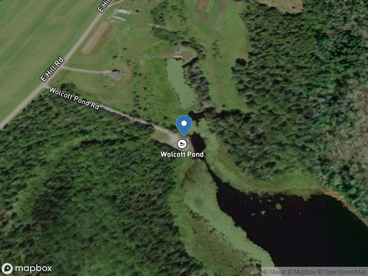
Wolcott Pond
Access Site
Wolcott Pond
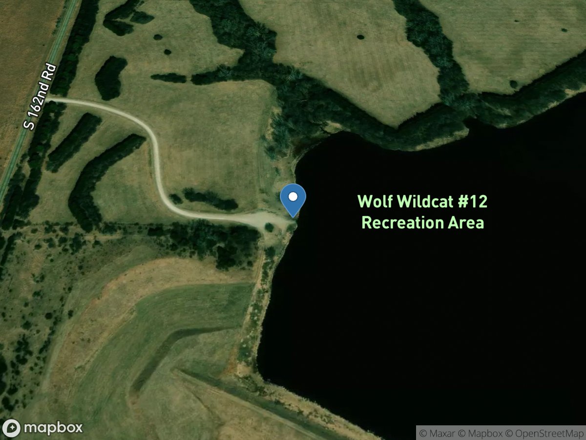
Wolf - Wildcat
Access Site
Wildcat Creek
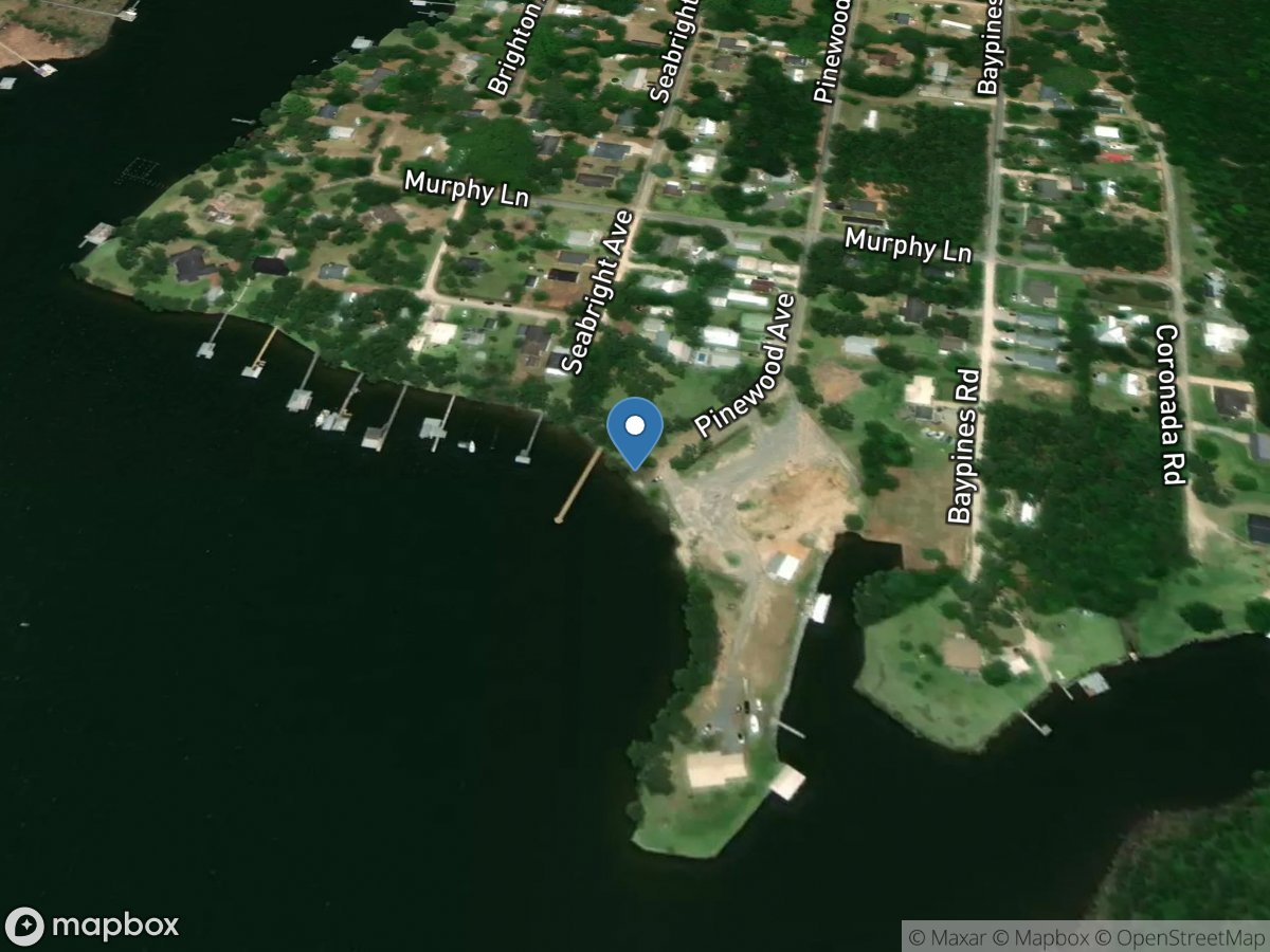
Wolf Bay
Access Site
Wolf Creek
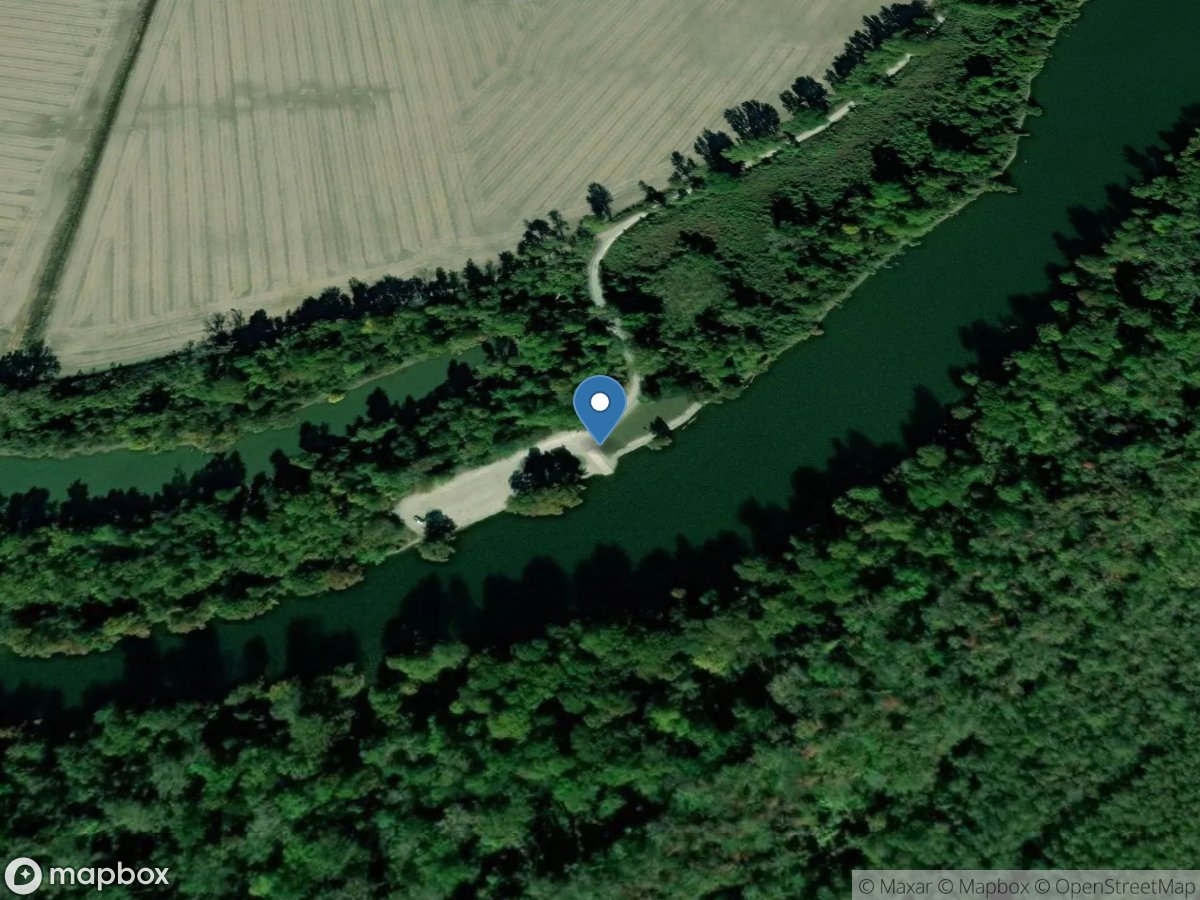
Wolf Bayou Unit of Black Island Conservation Area
Access Site
Wolf Bayou
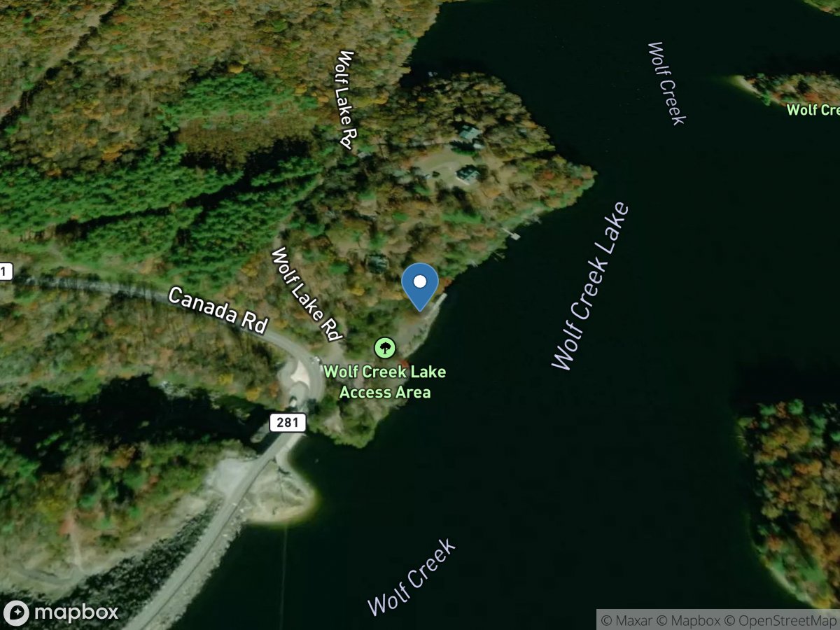
Wolf Creek
Access Site
Wolf Creek (Wolf Creek Lake)
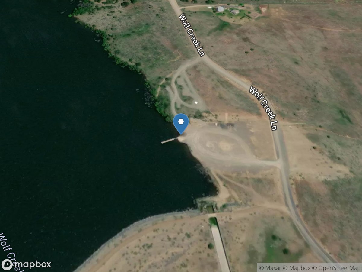
Wolf Creek
Access Site
Wolf Creek - Wolf Creek Reservoir
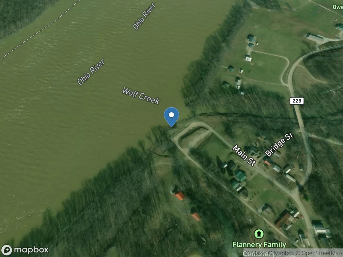
Wolf Creek
Access Site
Ohio River
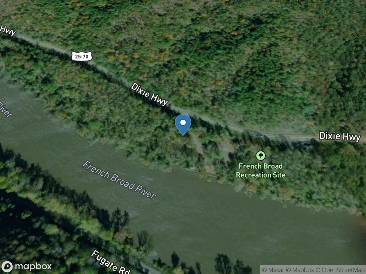
Wolf Creek Boat Launch
Access Site
French Broad River
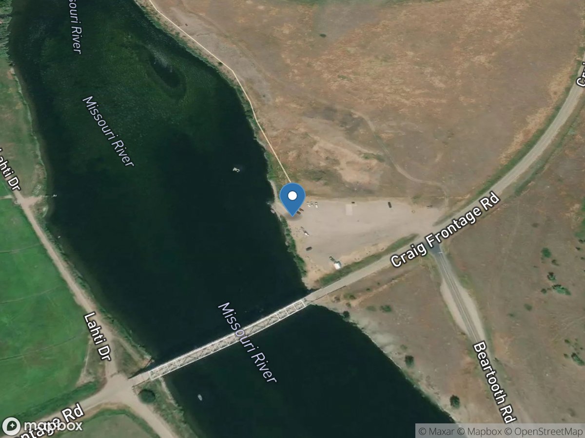
Wolf Creek Bridge
Access Site
Missouri River
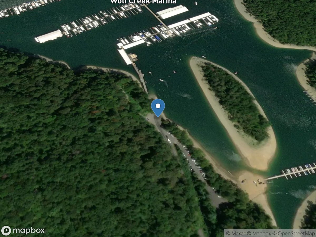
Wolf Creek Island Ramp
Access Site
Lake Cumberland
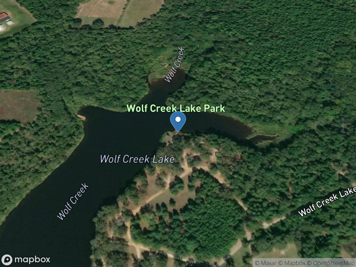
Wolf Creek Lake Park
Access Site
Wolf Creek - Wolf Creek Lake
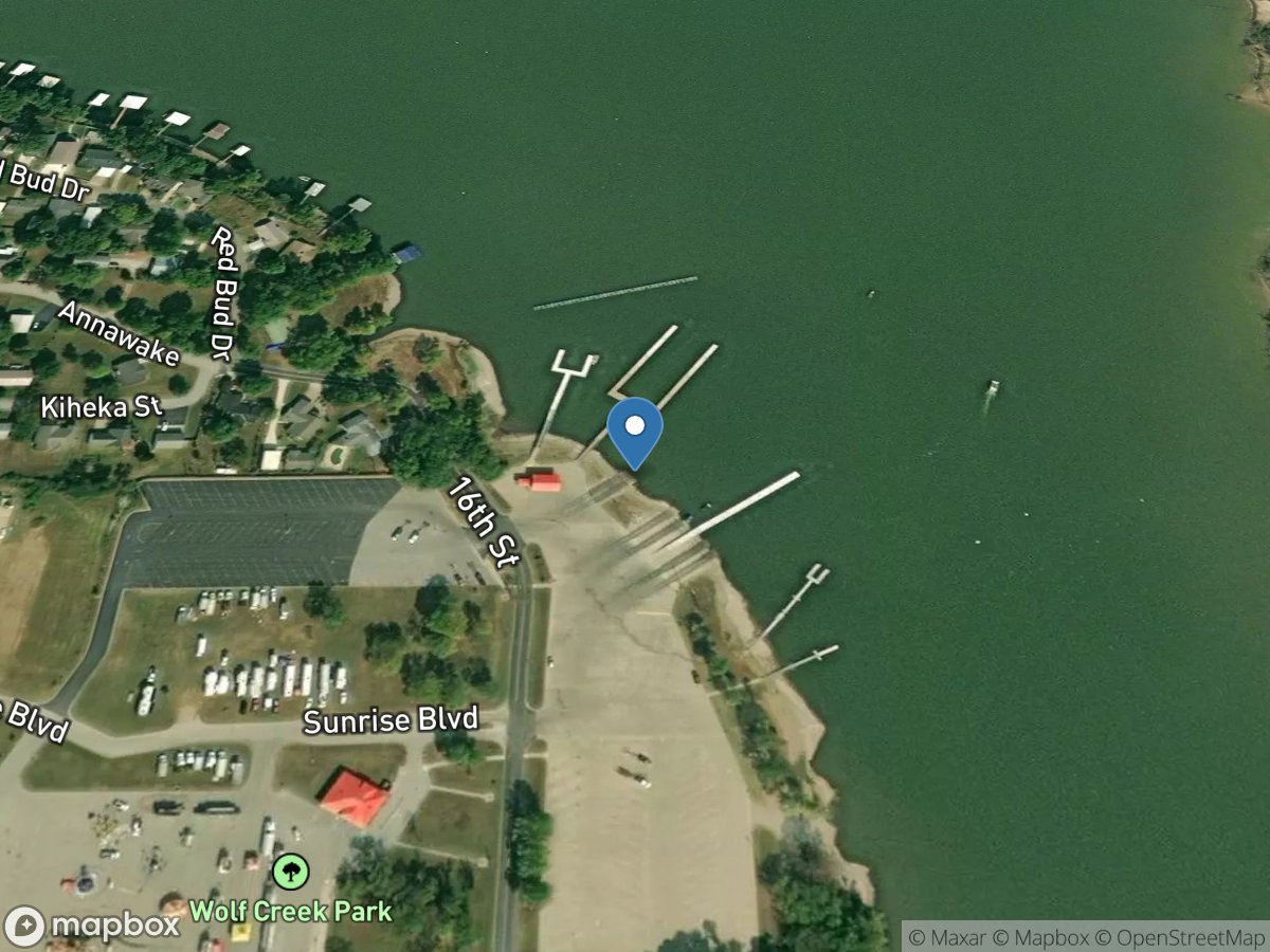
Wolf Creek Park
Access Site
Neosho River - Grand Lake
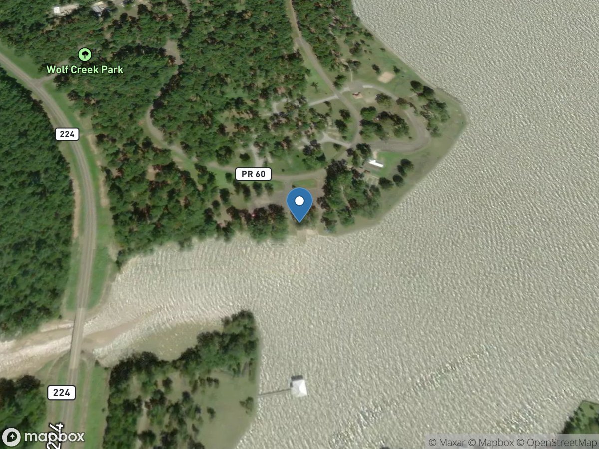
Wolf Creek Park
Access Site
Trintiy River - Lake Livingston
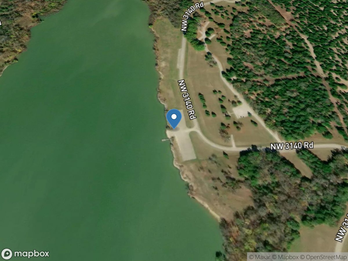
Wolf Creek Park
Access Site
Richland Creek - Navarro Mills Lake
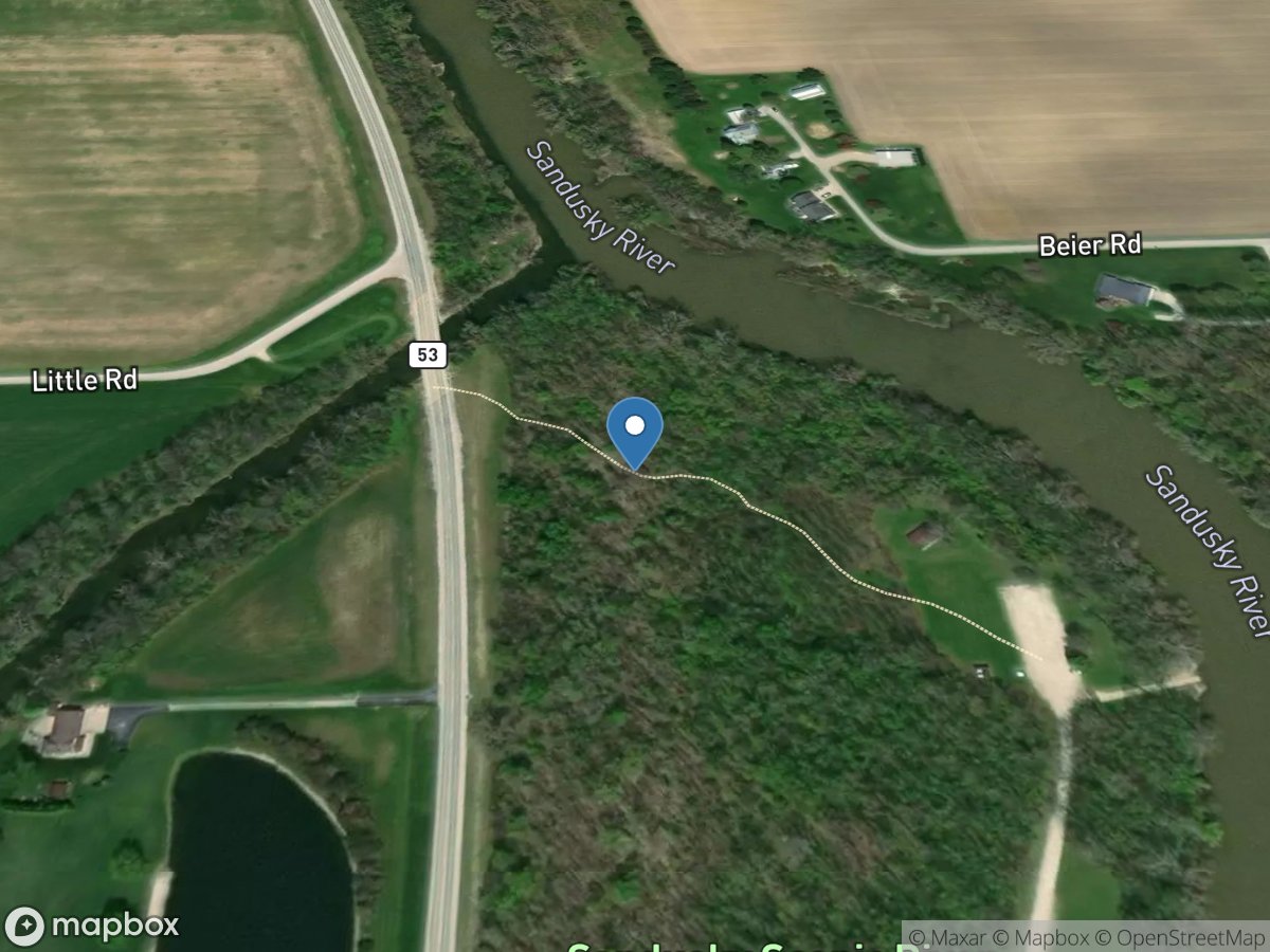
Wolf Creek Park / Canoe Launch
Access Site
Spicer Creek-Sandusky River