Gauge Conditions
Runnable: 400.0 – 2,000.0 CFS
Likely too low (under 150 cfs.). (Must be confirmed by visual inspection.)
Data from American Whitewater & USGS
Photo
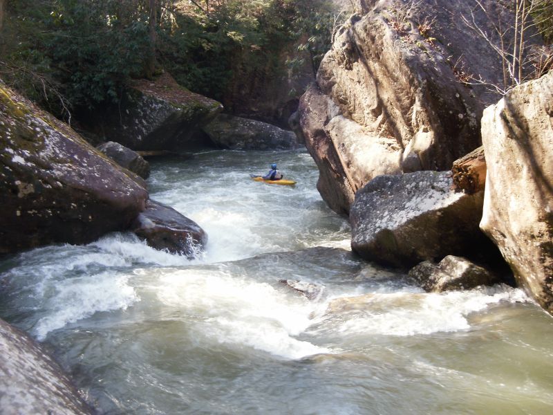
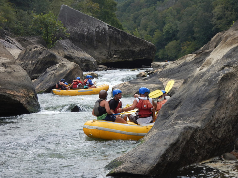
Photo courtesy of American Whitewater
Description
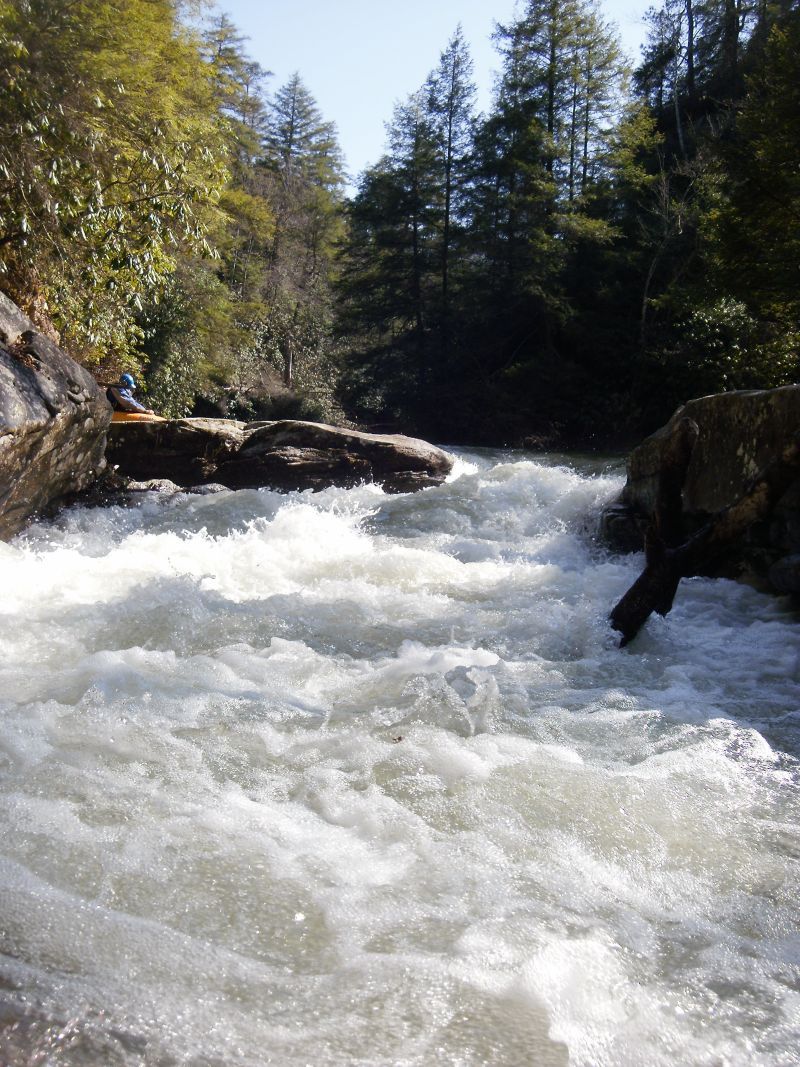
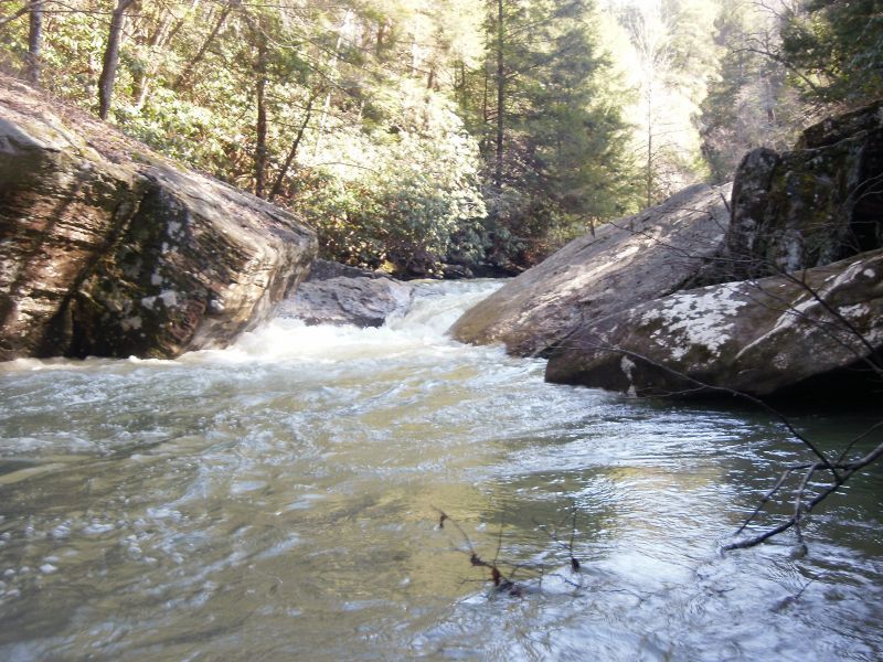
Autofeed is identified by a hozizon line with wood on the left, and has a large square boulder sitting on the right bank mid-way through the rapid. Work your way down the right side into one of the small eddies in front of the big boulder. From here, ferry to the left to get a visual on the final and crux move. Drive left to right across the lip of the drop, taking a well timed boof stroke to pull you away from the apparent undercut. The move is not that hard but the consequences are real. Scout where you can and portage on the right.
Location
View Full Run
Rooks Rd. to Bee Rock (6 miles)
Cane Creek
IV
6.2 mi
Hazard — Exercise extreme caution in this area.
Current Conditions
5-Day Forecast
Whitewater data from
American Whitewater
American Whitewater