Gauge Conditions
Data from American Whitewater & USGS
View Full Run
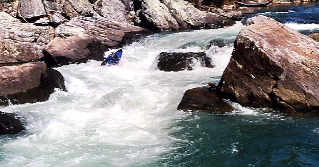
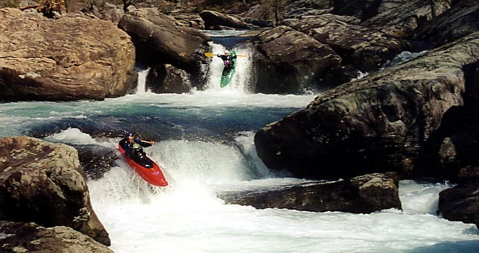
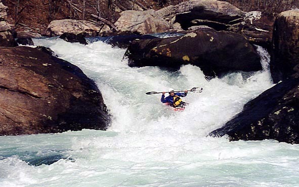
1. Hwy 35 to Upper Two
Little
IV-V
3.0 mi
Current Conditions
5-Day Forecast
Whitewater data from
American Whitewater
American Whitewater