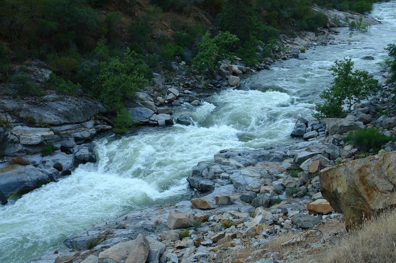
Gauge Conditions
Runnable: ? – ? CFS
Approximate - nearest available gauge. Use as general reference only.
Data from American Whitewater & USGS
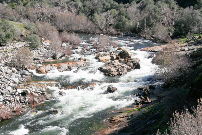
CDEC Flow Data California
Data from California Data Exchange Center (CDEC)
Photo

Photo courtesy of American Whitewater
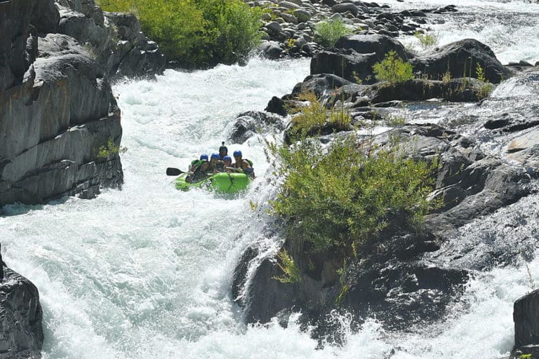
Description
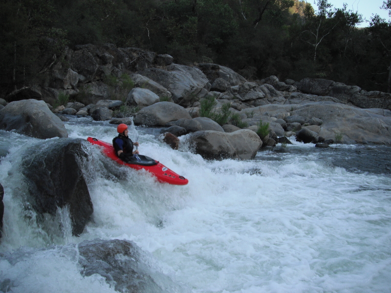
A large oddly textured boulder on river right signals the approach to this 8' waterfall. The main fall is generally runnable on the left edge. The reversal is backed up by a rib of rock extending from the right side. As flows rise, a sneak route opens up even further to the left. Scout to make sure you miss a boulder hiding just under the surface, below this sneak. The video above shows two boaters stuck and cartwheeling at the base of this falls. Easiest portage is on river right.
Location
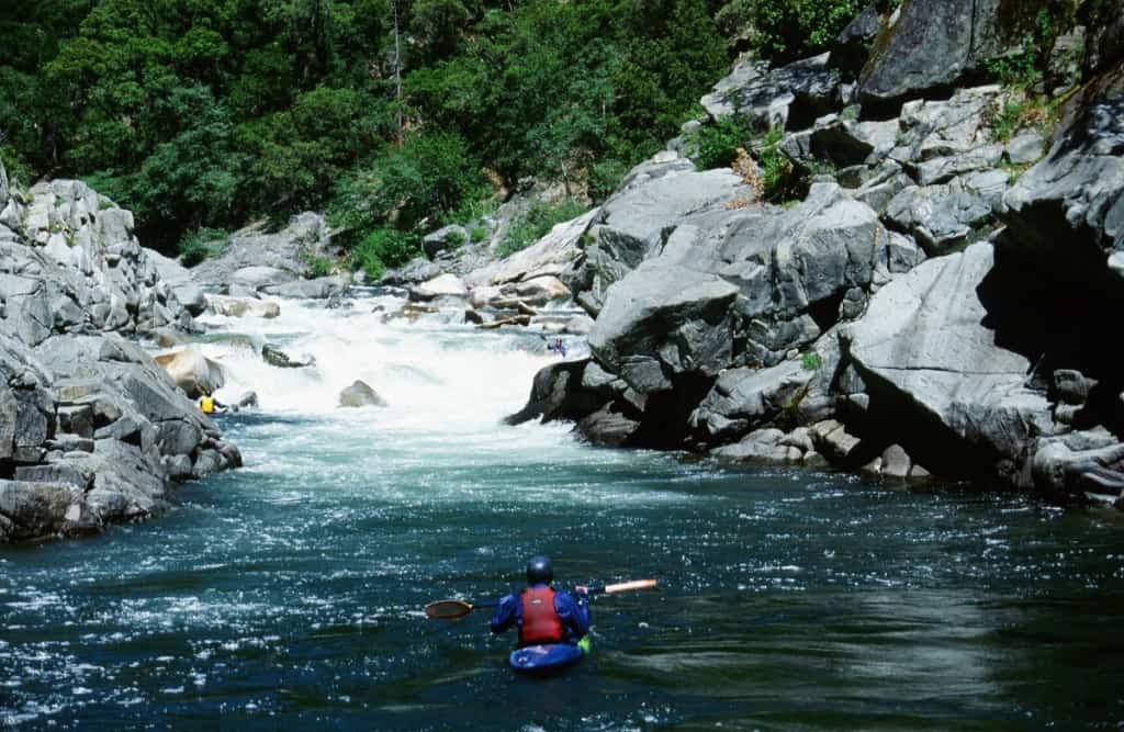
View Full Run
Dinkey Creek to Main Kings Confluence
Kings, N. Fork
V
3.0 mi
Current Conditions
5-Day Forecast
Whitewater data from
American Whitewater
American Whitewater