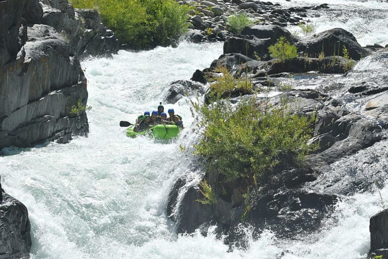
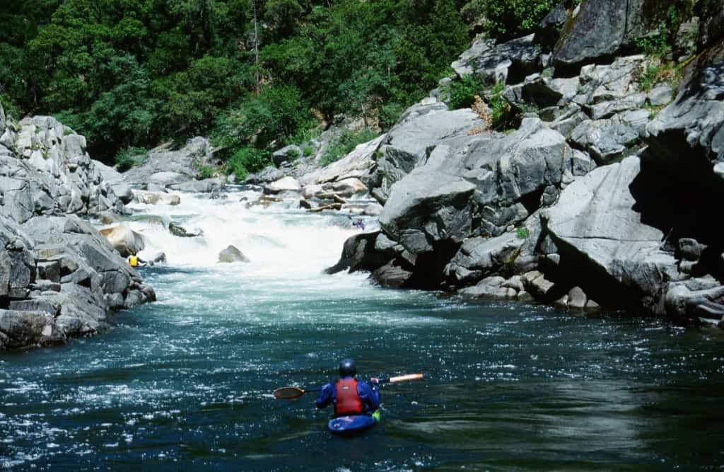
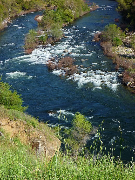
Confluence with main Kings
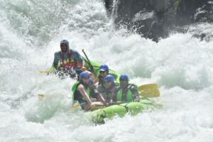
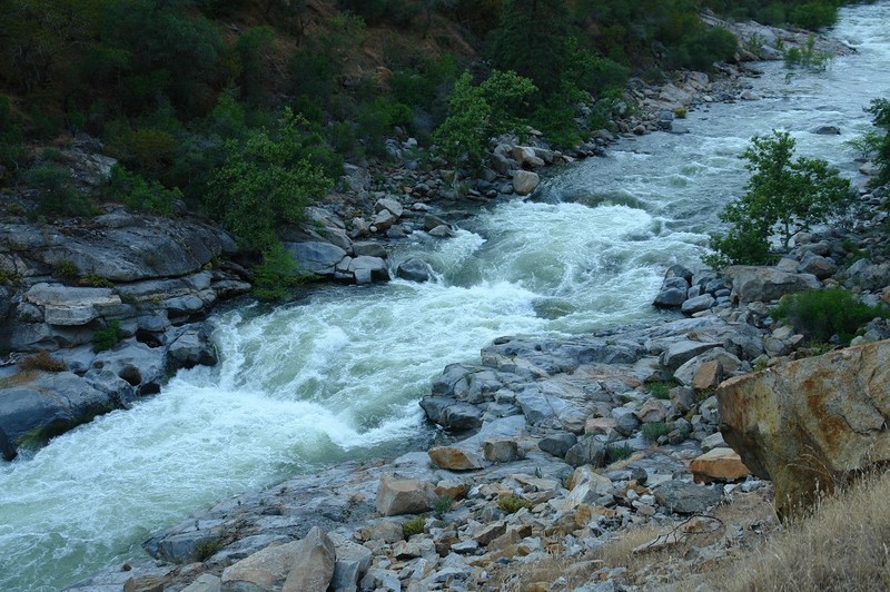
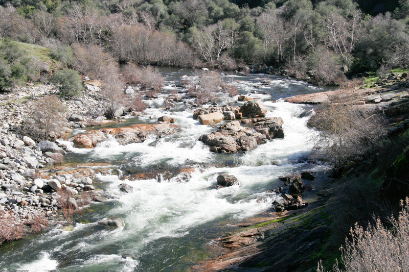
Kings, N. Fork - Dinkey Creek to Main Kings Confluence (CA)
Gauge Conditions
Runnable: ? – ? CFS
Approximate - nearest available gauge. Use as general reference only.
Data from American Whitewater & USGS
CDEC Flow Data California
Data from California Data Exchange Center (CDEC)
View Full Run
Dinkey Creek to Main Kings Confluence
Kings, N. Fork
V
3.0 mi
Current Conditions
5-Day Forecast
Whitewater data from
American Whitewater
American Whitewater