Gauge Conditions
Runnable: ? – ? CFS
Approximate - nearest available gauge. Use as general reference only.
Data from American Whitewater & USGS
CDEC Flow Data California
Data from California Data Exchange Center (CDEC)
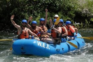
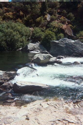
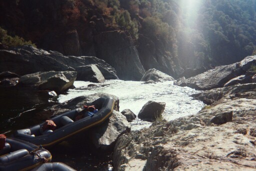
Photo
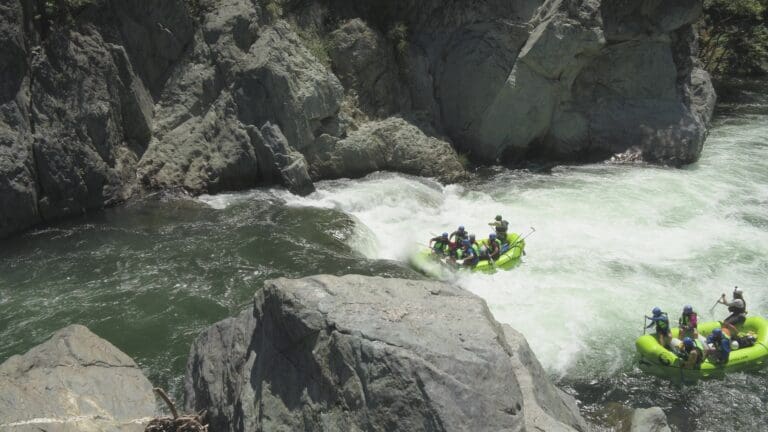
Photo courtesy of American Whitewater
Description
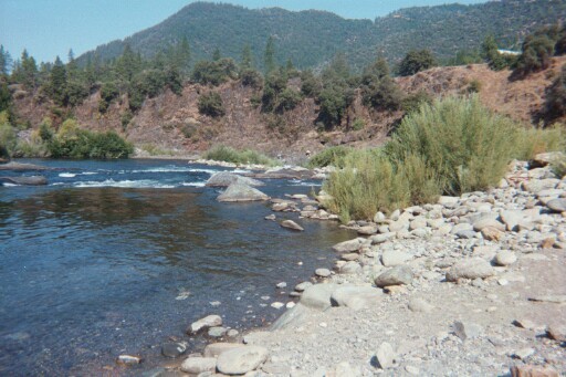
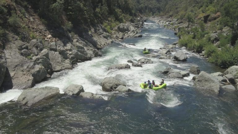
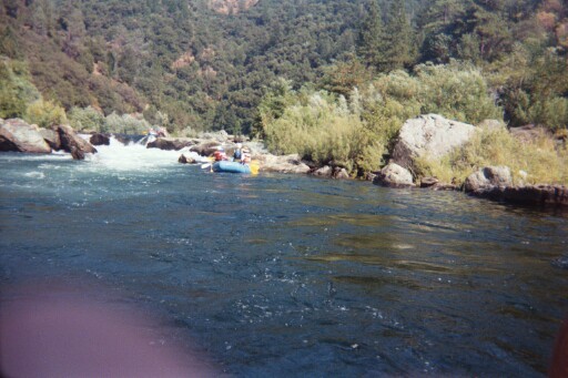
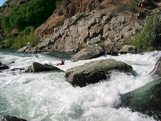
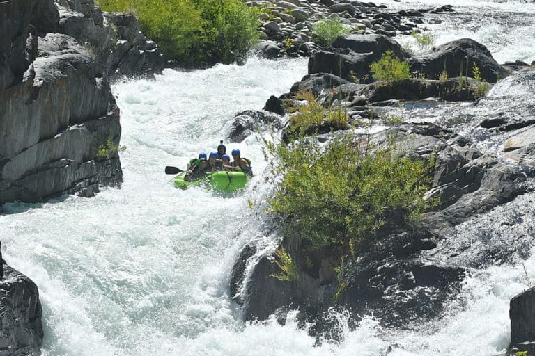
Gas Canyon marks the beginning of the lower camping zone on the Middle Fork American River, featuring a complex series of boulder-strewn drops that demand precise navigation through tight channels and potential undercut rocks. Paddlers should carefully scout the rapid for shifting lines and potential hazards, as the technical nature of the rapid requires careful route selection and precise maneuvering to avoid potential pin or entrapment scenarios.
Location
Other Rapids on This Run (20)
 Rapid
III
Rapid
III
Panic Alley
 Rapid
III
Rapid
III
Carl's Crash
 Rapid
N/A
Rapid
N/A
Santa's Mustache
 Rapid
III
Rapid
III
Last Chance
 Rapid
N/A
Rapid
N/A
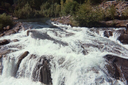
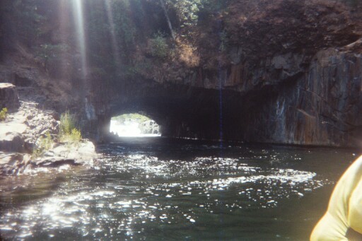
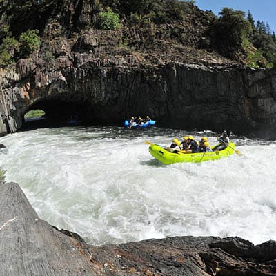
Tunnel Chute Entrance from Upstream
 Waterfall
V+
Waterfall
V+
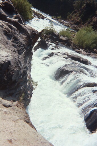
Tunnel Chute Left Channel
 Hazard
IV+
Hazard
IV+
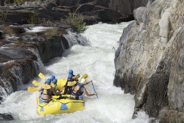
Tunnel Chute
 Rapid
N/A
Rapid
N/A
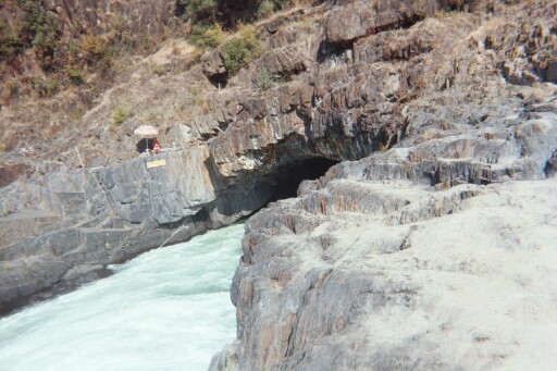
Entrance to the Tunnel from Right Bank
 Rapid
N/A
Rapid
N/A
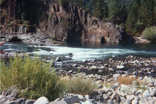
Sun Shafts
 Rapid
III
Rapid
III
Soul Train
 Rapid
N/A
Rapid
N/A
Volcano Creek
 Rapid
N/A
Rapid
N/A
Orange Wall
 Rapid
IV
Rapid
IV
Kanaka
Rapid
II
Nine miles of Class I and II
 Rapid
Rapid
Cash Rock
 Rapid
Rapid
Jump Rock
 Rapid
N/A
Rapid
N/A
Big Snyder Gulch
 Rapid
N/A
Rapid
N/A
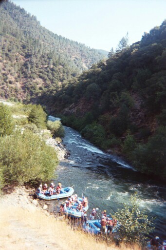
River Access
 Portage
IV
Portage
IV
Chunder (a.k.a Upper Ruck-A-Chucky or Duck Soup)
 Waterfall
V+
Waterfall
V+
Ruck-A-Chucky Falls
View Full Run
Oxbow Bend / Ralston Afterbay to Drivers Flat Road
American, Middle Fork
II-IV(V+)
15.2 mi
Current Conditions
5-Day Forecast
Whitewater data from
American Whitewater
American Whitewater