Gauge Conditions
Runnable: ? – ? CFS
Approximate - nearest available gauge. Use as general reference only.
Data from American Whitewater & USGS
CDEC Flow Data California
Data from California Data Exchange Center (CDEC)
Description
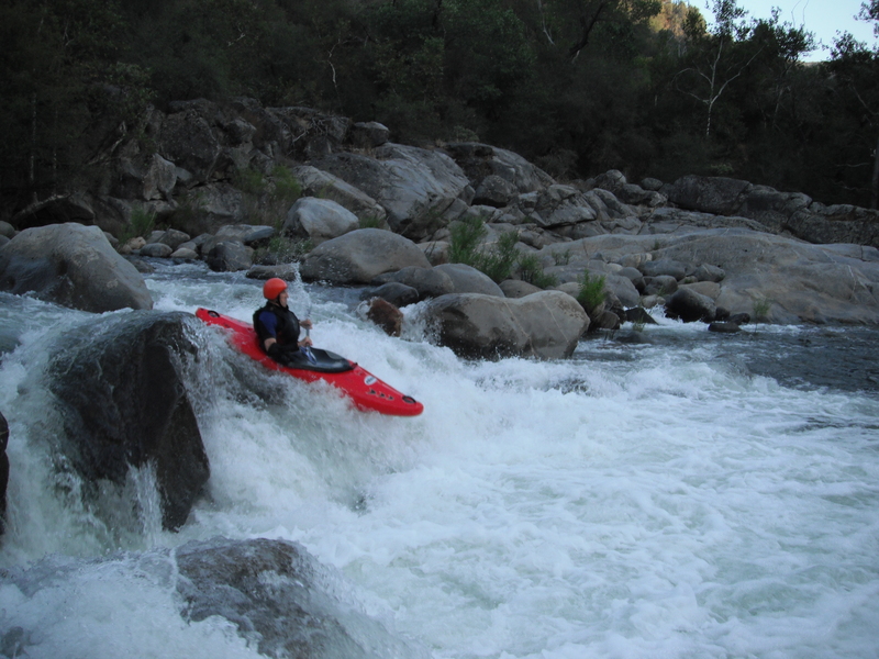
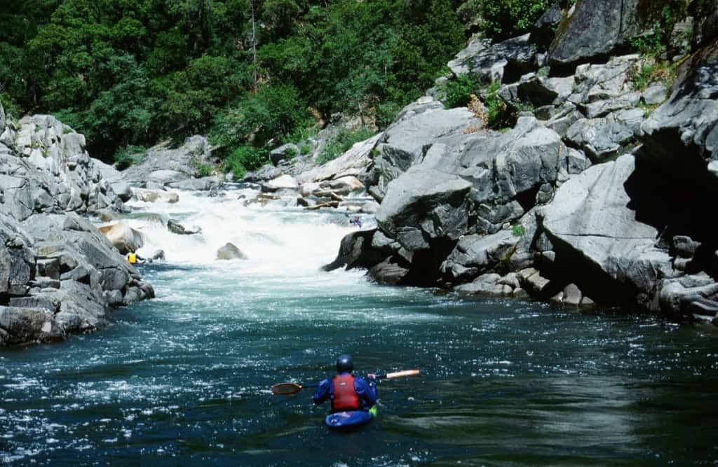
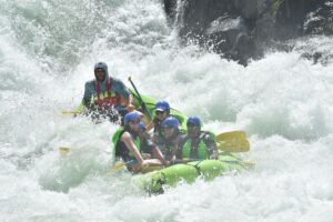
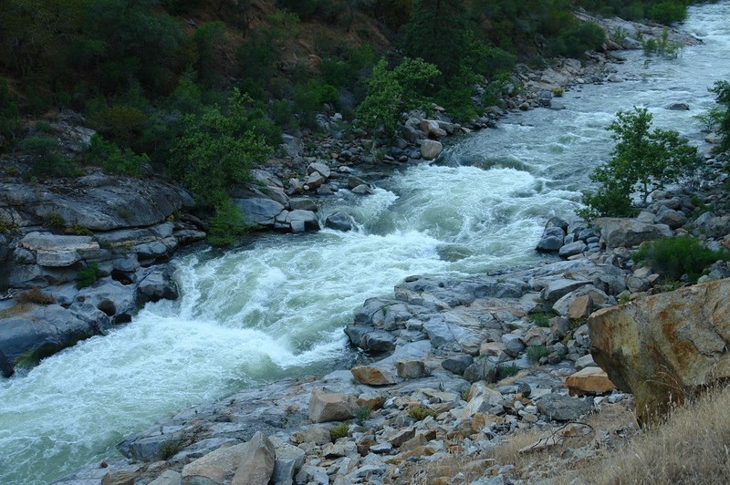
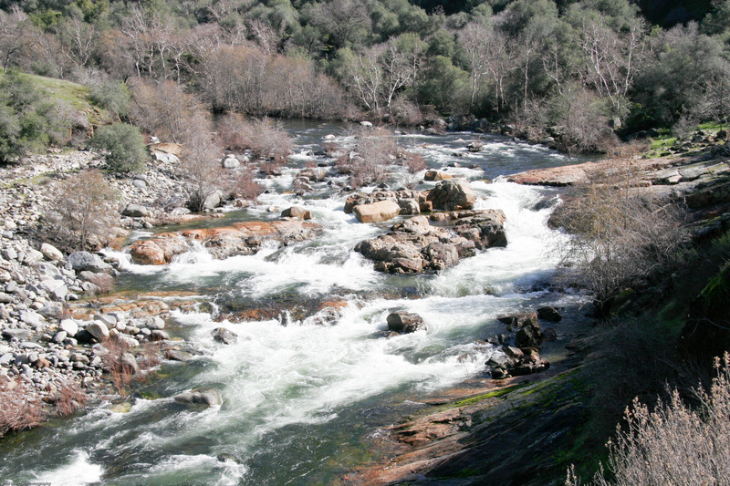
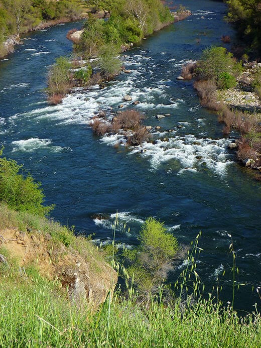
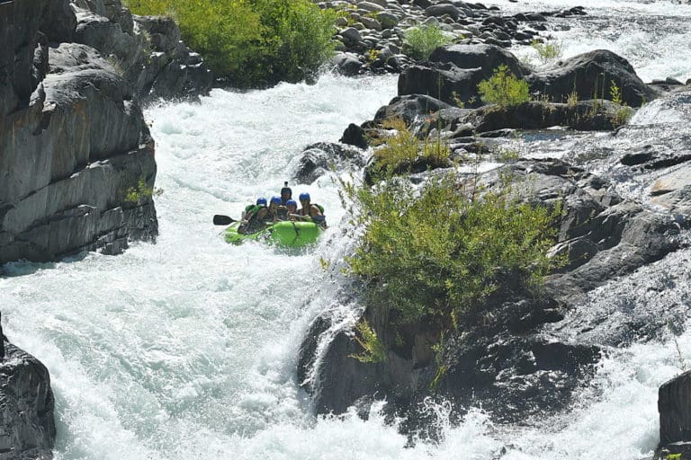
An interesting class 4 rapid ends at a pool with a cable crossing and a gauging station. This gauging station is against the cliff on river right. A scale on the outside of the station shows the river level in tenths of feet. Convert to cfs with this Gauge Rating Table.
Location
View Full Run
Dinkey Creek to Main Kings Confluence
Kings, N. Fork
V
3.0 mi
Current Conditions
5-Day Forecast
Whitewater data from
American Whitewater
American Whitewater