Gauge Conditions
Data from American Whitewater & USGS
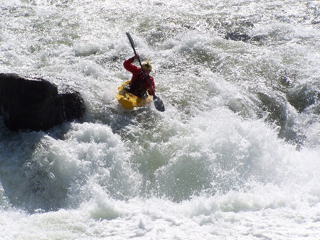
Photo
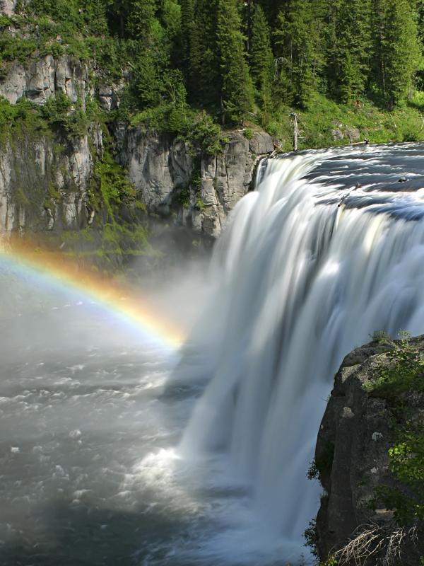
Photo courtesy of American Whitewater
Description
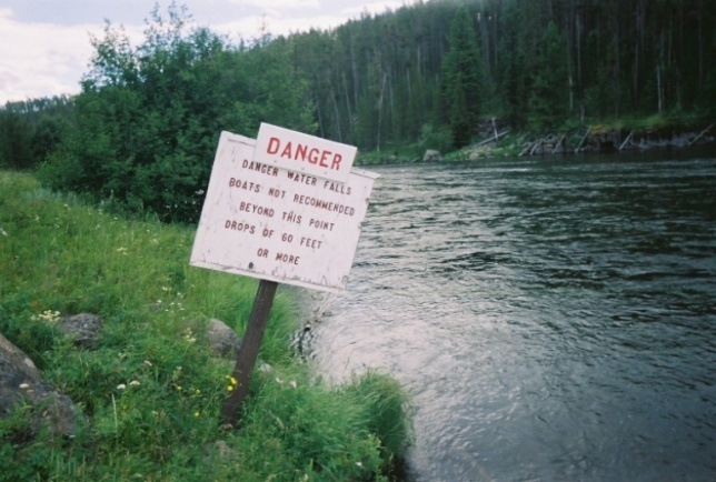
Take Mesa Falls Scenic Byway (Idaho 47) from Ashton, ID. Continue past the Lower Mesa Overlook and turn into the Upper Mesa parking area. This is the takeout, note it is a fee area. Unless someone in your group has run this stretch you should take the time to stroll down the boardwalk and scout the takeout. Potentially the most dangerous part of the run, this is not a takeout you want to miss. You will want to float onto the shelf of Upper Mesa, eddy out river left, and step out of your boat onto the boardwalk.
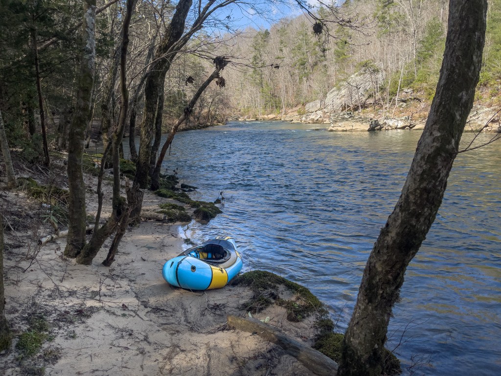
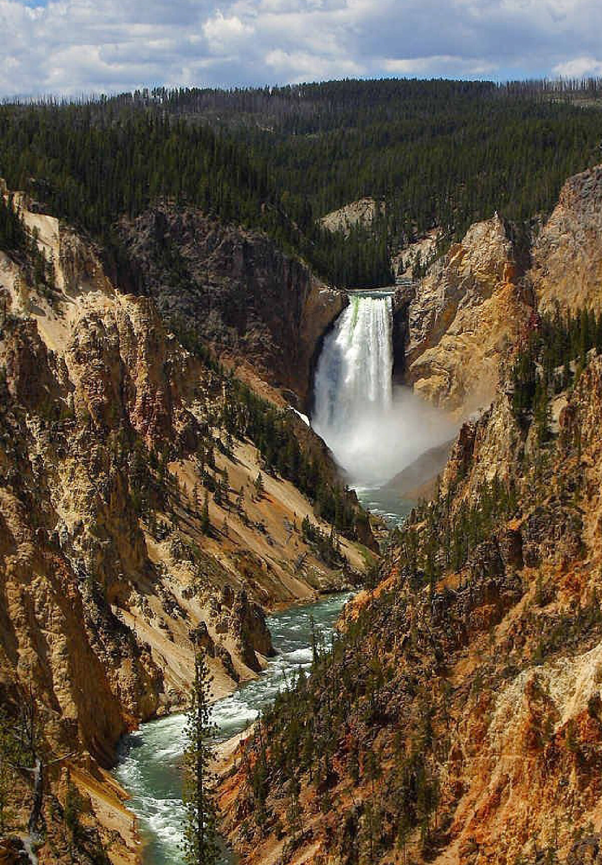
Location
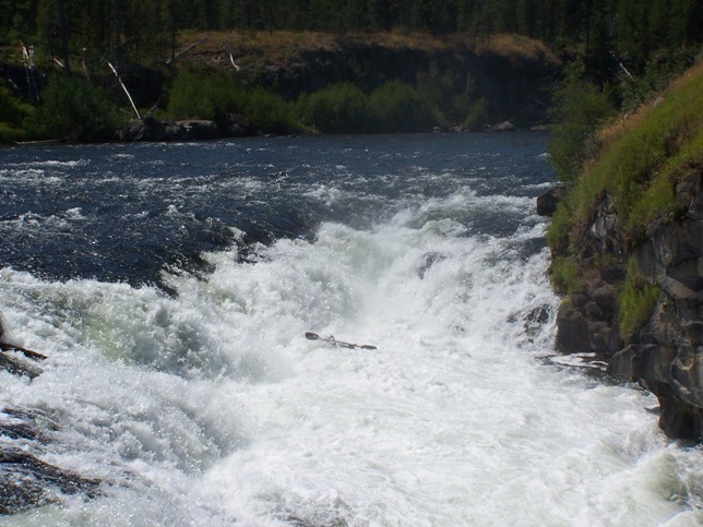
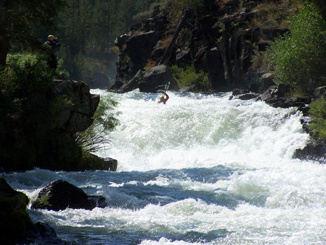
Other Rapids on This Run (6)
View Full Run
Hatchery Ford to above Upper Mesa Falls
Henrys Fork
III+(V)
6.9 mi
Hazard — Exercise extreme caution in this area.
Current Conditions
5-Day Forecast
Whitewater data from
American Whitewater
American Whitewater