Gauge Conditions
Runnable: 2.8 – 6.0 FT
2.8 is the minimum runnable level if running from Gladwin to Hendricks. 3.0 is needed if running from Jenningston put-in.
Data from American Whitewater & USGS
Photo

Photo courtesy of American Whitewater
Description
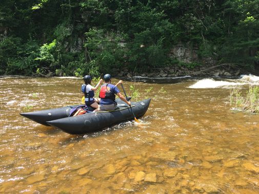
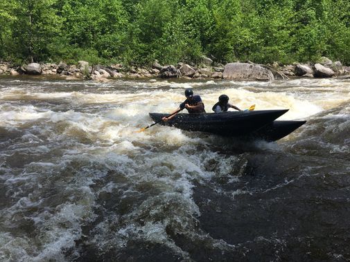
Hendricks Take Out marks the end of a challenging stretch of the Dry Fork Cheat, with a complex exit requiring precise navigation through a series of boulder-strewn channels. Paddlers should be prepared for potential shallow water and tight maneuvering, particularly during lower water levels, and carefully scout the take-out route to avoid pinning or boat damage.
Location
Other Rapids on This Run (3)
View Full Run
4. Jenningston to Hendricks
Cheat, Dry Fork
II-III+
13.0 mi
Current Conditions
5-Day Forecast
Whitewater data from
American Whitewater
American Whitewater