Take-out
MO
Highway 34 Bridge in Piedmont Take-Out
McKenzie Creek - Lon Sanders Canyon Conservation Area to Piedmont (MO)
Gauge Conditions
Data from American Whitewater & USGS
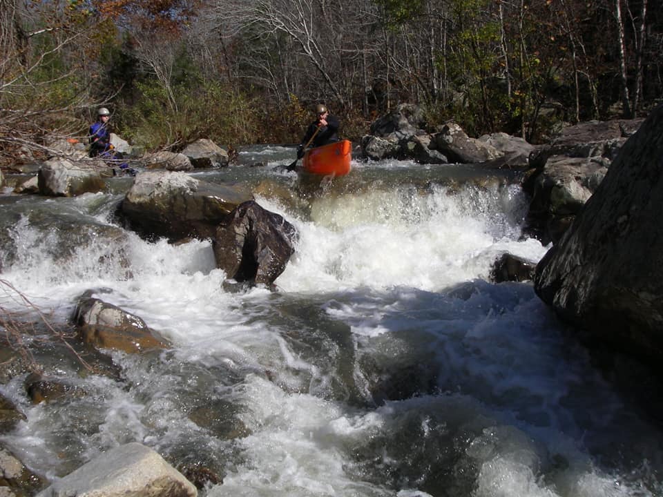
Photo
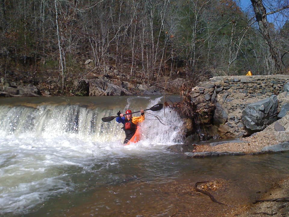
Photo courtesy of American Whitewater
Description
The Highway 34 Bridge take-out marks the end of a technical stretch through Lon Sanders Canyon, with moderate boulder gardens and potential wood hazards requiring careful navigation. Paddlers should be prepared for potential strainers and scout the exit carefully, as the bridge area can have complex hydraulics and limited visibility during higher water levels.
Location
Other Rapids on This Run (1)
View Full Run
Lon Sanders Canyon Conservation Area to Piedmont
McKenzie Creek
II(IV)
1.2 mi
Current Conditions
5-Day Forecast
Whitewater data from
American Whitewater
American Whitewater