How's Your
River
×
Explore
Explore Map
Water Bodies
Gauges
Access Sites
Tidal Stations
Whitewater
Pricing
Login
Sign Up
Hazard Warning:
Hazard information may be user-submitted and unverified. Conditions change frequently. Always scout rapids and obstacles yourself.
Whitewater
Utah
Muddy Creek - 01. I-70 to Hanksville
I-70 Put In
Put-in
UT
I-70 Put In
Muddy Creek - 01. I-70 to Hanksville (UT)
Monitor this Rapid
Water Body
This Run
Map
Other Rapids
Gauge
Weather
Directions
Gauge Conditions
Muddy Creek near Emery, UT
Upstream
Primary
Runnable: 150.0 – 500.0 CFS
Data from
American Whitewater
&
USGS
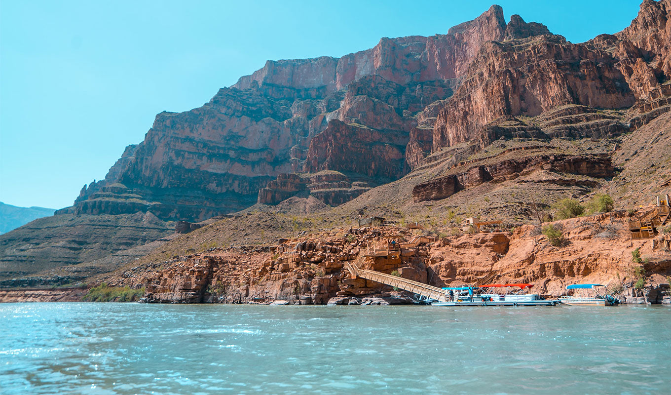
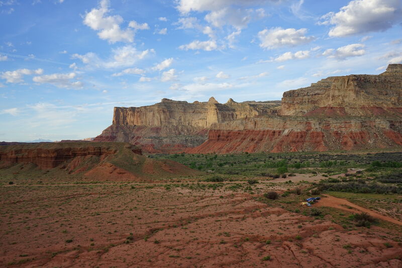
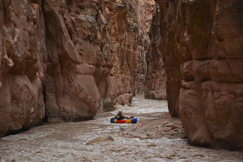
Photo
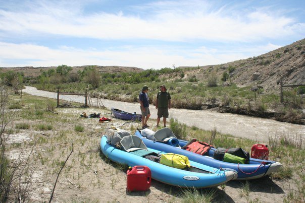
Photo courtesy of
American Whitewater
Location
Radar
Counties
Cell
Verizon
AT&T
T-Mobile
Dark
Satellite
Terrain
Other Rapids on This Run (6)
Rapid
N/A
Lone Tree Crossing
12.1 mi
Rapid
N/A
Tomsich Butte
33.3 mi
Rapid
N/A
The Chute
39.9 mi
Rapid
N/A
Hidden Splendor Mine
47.7 mi
Rapid
N/A
Factory Butte Road
55.0 mi
Rapid
N/A
Hwy 25 Bridge Take Out
72.0 mi
Type
Put-in
Difficulty
Class N/A
Mile Marker
0.0 mi
Directions
Navigate
View Full Run
01. I-70 to Hanksville
Muddy Creek
II-III
81.7 mi
Current Conditions
5-Day Forecast
Whitewater data from
American Whitewater
I-70 Put In