Gauge Conditions
Runnable: ? – ? CFS
Approximate - nearest available gauge. Use as general reference only.
Data from American Whitewater & USGS
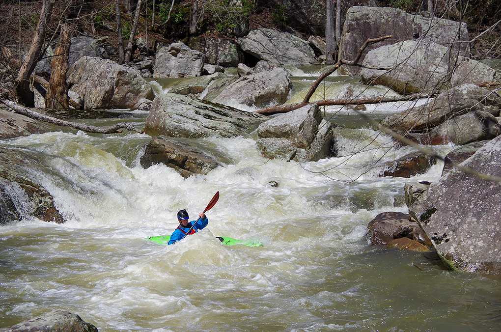
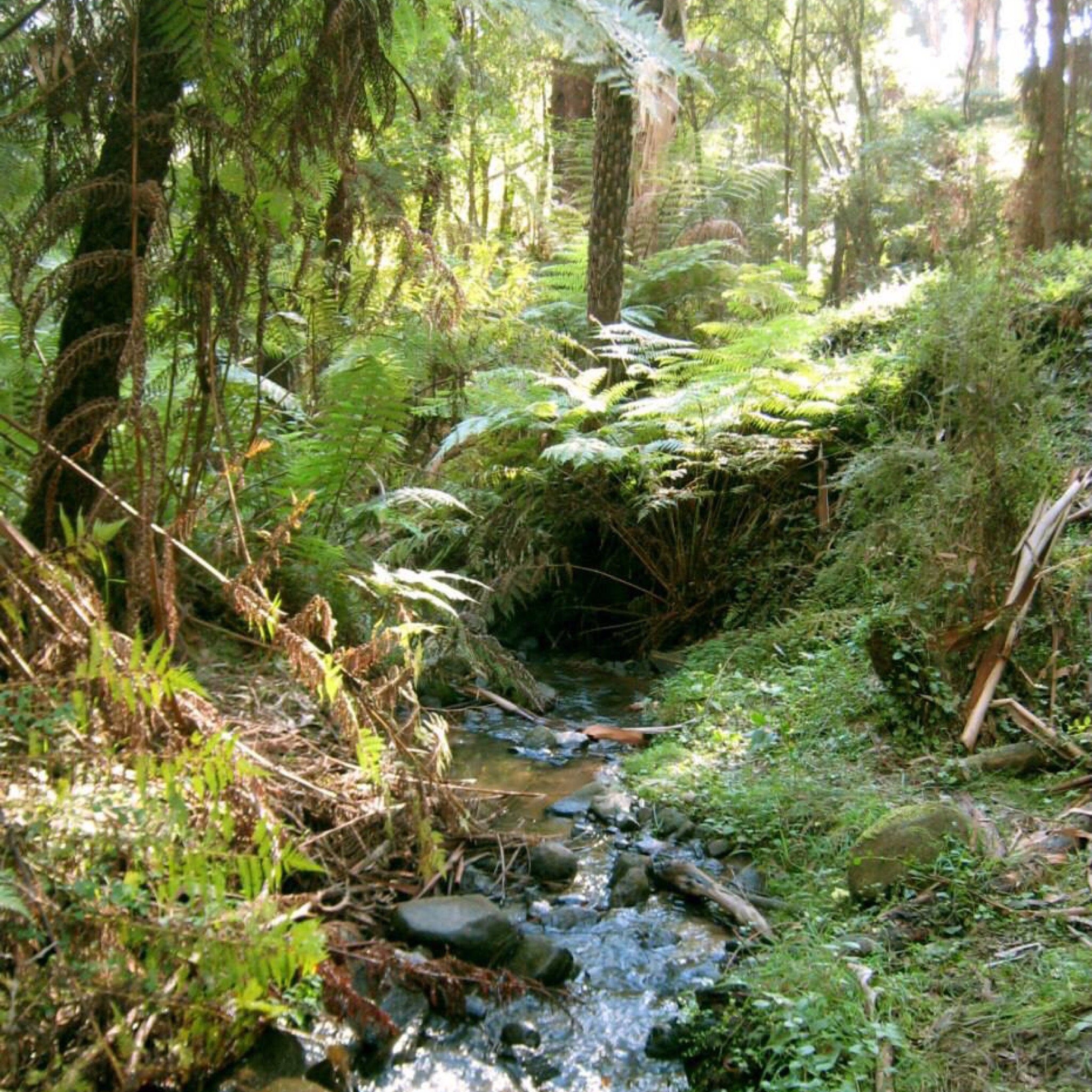
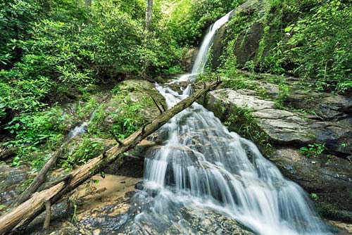
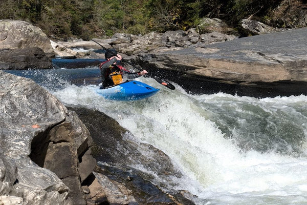
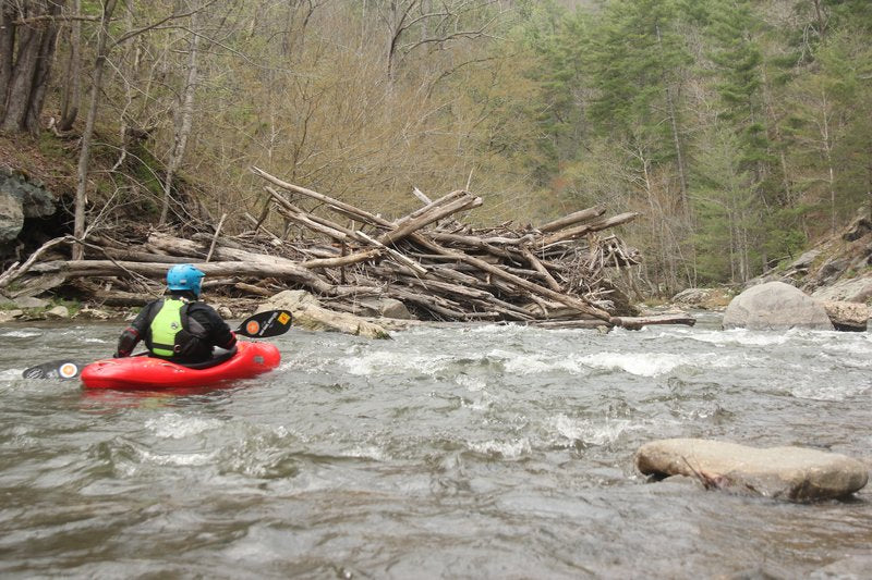
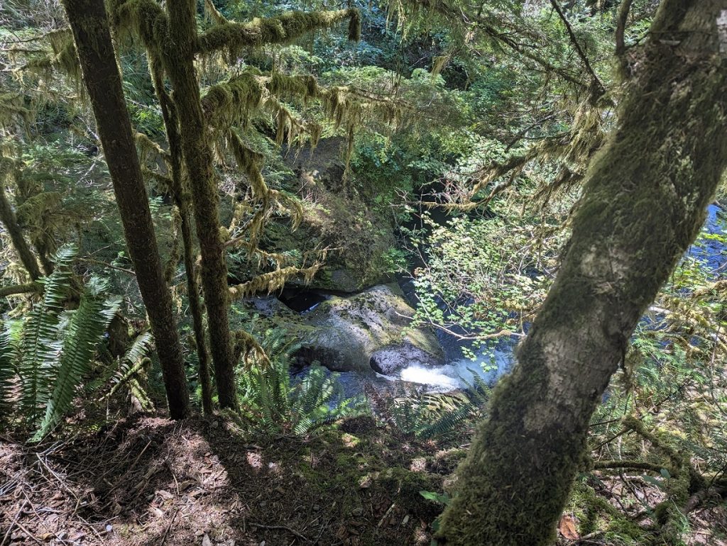
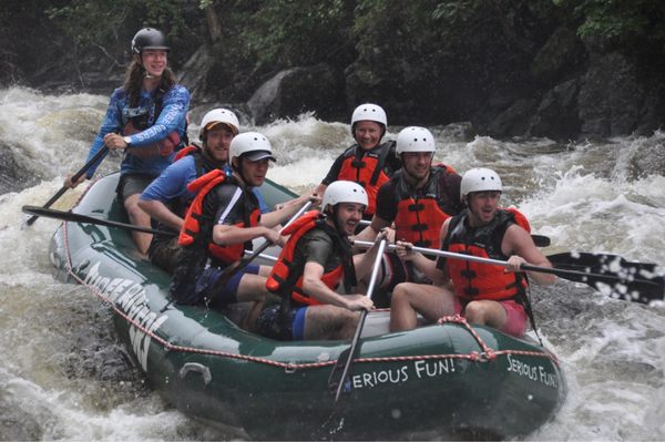
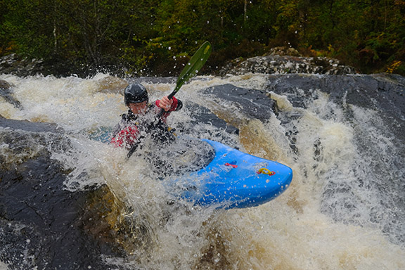
Photo
Photo courtesy of American Whitewater
Description
Laurel Creek rapid features a tight, technical entry with a sharp river-left bend leading into a constricted channel with potential pin hazards on exposed boulders. Paddlers must navigate a series of closely spaced hydraulics and precise maneuvering to successfully thread the main line, with limited margin for error and increased consequence during higher water levels.
Location
Other Rapids on This Run (20)
 Rapid
Rapid
Put in
 Portage
IV
Portage
IV
Class 4 Portage
 Rapid
Rapid
Lowery Creek
 Hazard
Sieve Portage
 Waterfall
III+
Waterfall
III+
Blind Ledge
 Waterfall
IV
Waterfall
IV
Blind Slide
 Waterfall
V
Waterfall
V
Spinal Adjuster
 Hazard
IV
Hazard
IV
Boogie currently with log
 Rapid
IV+
Rapid
IV+
Ferry Left, Definition of "boof"
 Waterfall
V+
Waterfall
V+
Spoonman
 Waterfall
V+
Waterfall
V+
Firescape
 Rapid
IV+
Rapid
IV+
Triple Drop
 Rapid
Rapid
Polebridge Creek
 Rapid
IV+
Rapid
IV+
Triple Bridge
 Hazard
IV
Hazard
IV
Dayton Reservoir
 Hazard
IV+
Hazard
IV+
Timber Rattler
 Hazard
IV+
Hazard
IV+
Left Down Hut
 Rapid
Rapid
Morgan Creek
 Rapid
IV+
Rapid
IV+
Weirdo
 Rapid
Rapid
Takeout
View Full Run
Liberty Hill Rd to Laurel-Snow Parking lot
Henderson Creek
V
6.8 mi
Current Conditions
5-Day Forecast
Whitewater data from
American Whitewater
American Whitewater