Gauge Conditions
Photo
Description
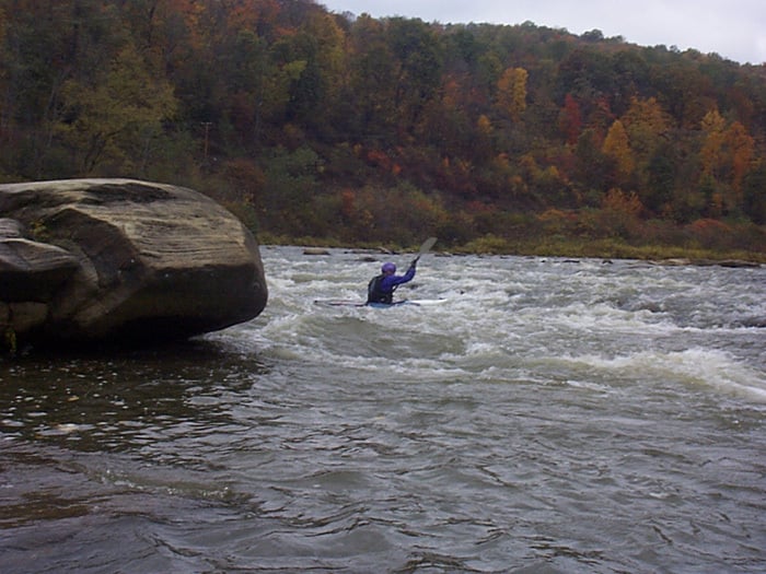
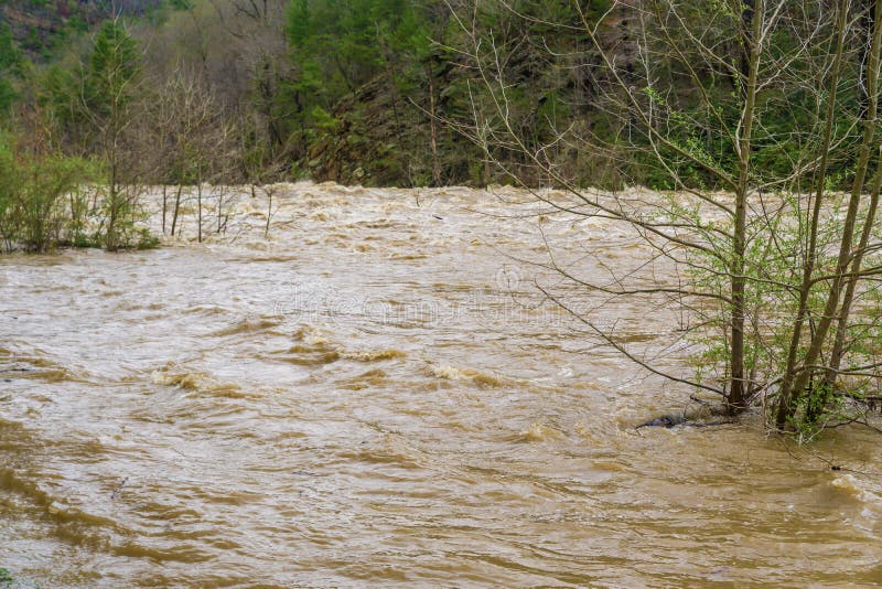
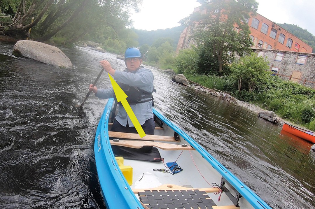
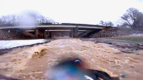
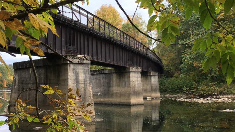
After a while, the river turns to the left at a huge railroad cut. At low water levels, the river shoals out in the turn and the line is to stay far left -- just left of a small rocky/gravely island. At higher water levels, you can run it anywhere and the island becomes a pour-over to be avoided. The river comes together below the little island and forms a nice surfing wave against a large rock formation ("Lunch Rock") on river right with the old railroad (bike trail) bridge immediately below. Depending upon your timing, this is a potential lunch spot -- river right. Image was taken at minimal runnable level of 2.0' (Markleton). For the next 1/2 mile there are a series of unnamed class II boulder gardens, gravel bars and small ledges.
Location
Other Rapids on This Run (16)
 Rapid
N/A
Rapid
N/A
 Hazard
III-
Hazard
III-
 Rapid
III-
Rapid
III-
 Rapid
II+
Rapid
II+
 Rapid
II+
Rapid
II+
 Playspot
II
Playspot
II
 Waterfall
N/A
Waterfall
N/A
 Rapid
III
Rapid
III
 Rapid
N/A
Rapid
N/A
 Rapid
II
Rapid
II
 Rapid
III-
Rapid
III-
 Rapid
N/A
Rapid
N/A
Current Conditions
5-Day Forecast
American Whitewater