Gauge Conditions
Data from American Whitewater & USGS


View Full Run
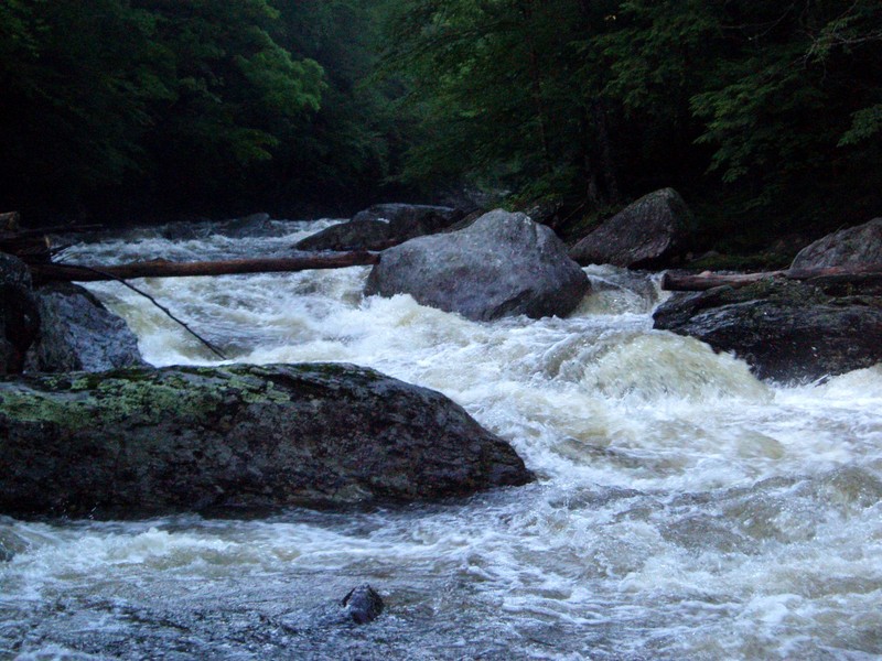
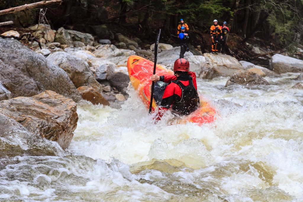
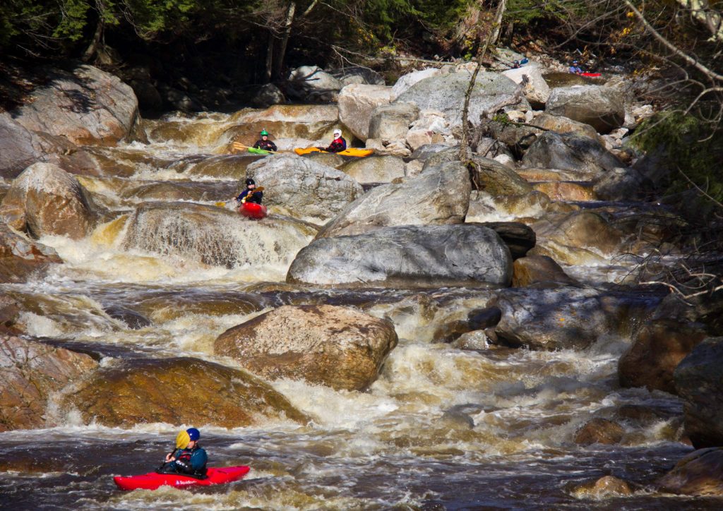
Belvedere Junction to Waterville
Lamoille, North Branch
IV
12.0 mi
Current Conditions
5-Day Forecast
Whitewater data from
American Whitewater
American Whitewater