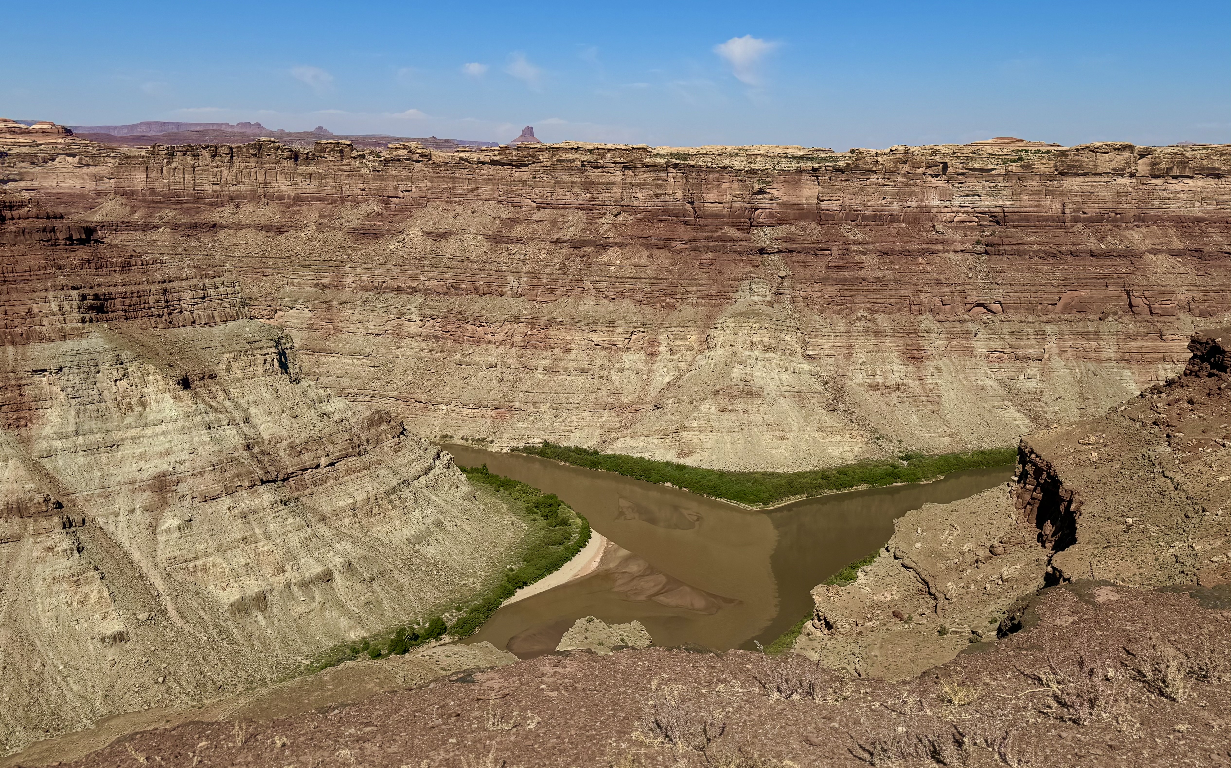
North Wash Boat Ramp - Dirty Devil Confluence
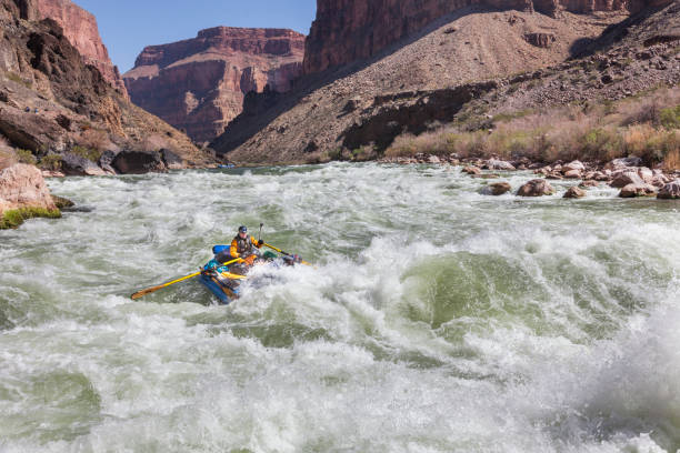
Colorado - 18. Colorado/Green Confluence to Hite Marina (Cataract Canyon) (UT)
Gauge Conditions
Approximate - nearest available gauge. Use as general reference only.
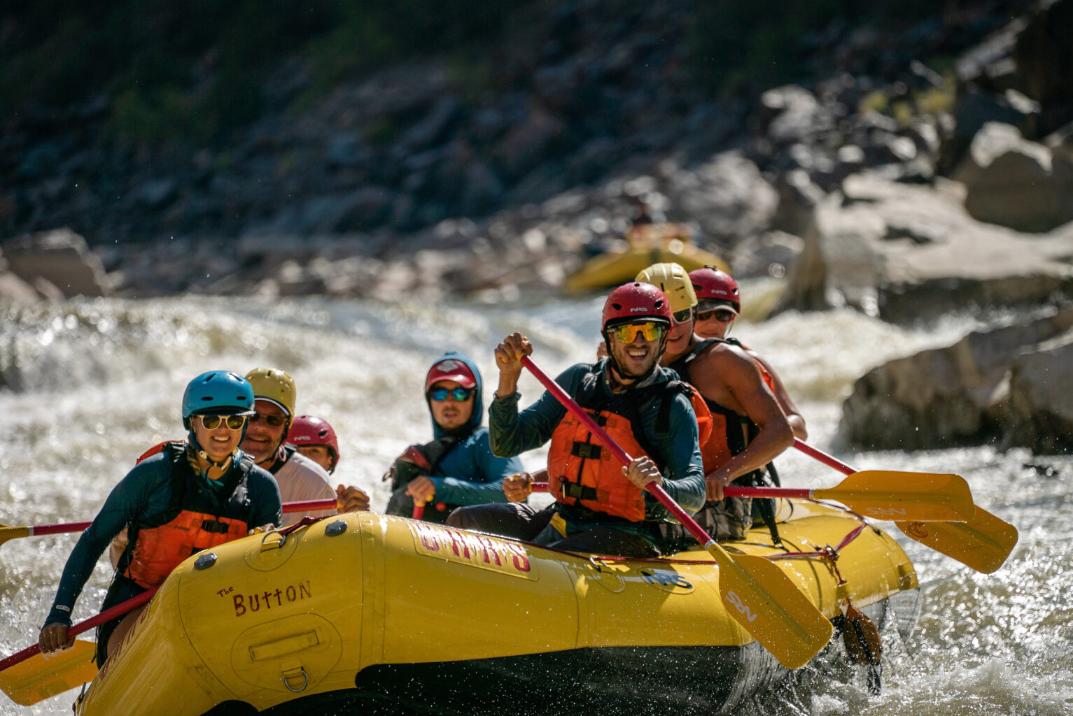
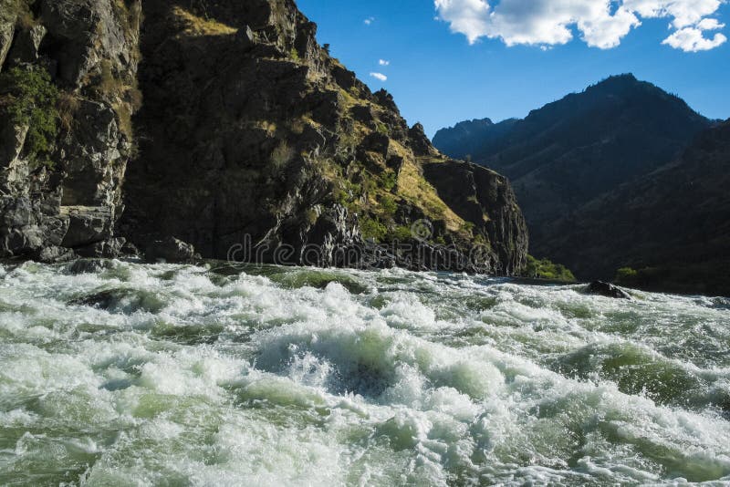
Photo
Description
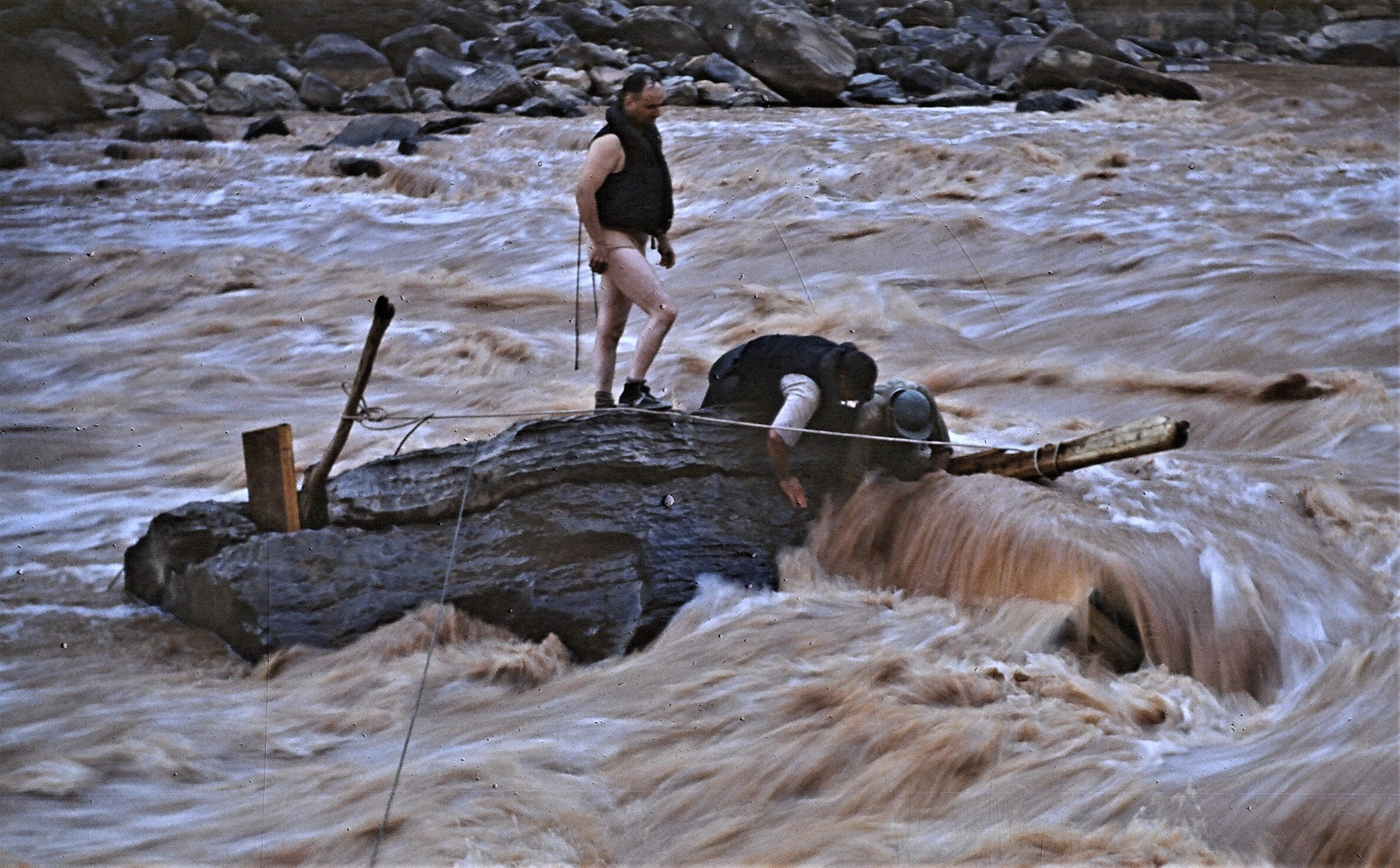
This take out is on the north side of the reservoir, just downstream of the mouth of the Dirty Devil River on river right. It can be difficult to find a good place to beach because of large areas of mud flats, quicksand, and steep banks. It is also easy to get cars stuck in the soft sand and there have been close calls with vehicles nearly ending up in the river. It is not possible to back a trailer down to river level when the reservoir is low. Outfitters use a winch and series of rollers to pull boats up the steep "ramp." This is generally the only take-out available as Hite Marina is usually inaccessible. Contact the National Park Service about current ramp conditions as they can change quickly.
Location
Other Rapids on This Run (20)
 Rapid
N/A
Rapid
N/A
 Rapid
III
Rapid
III
 Rapid
III
Rapid
III
 Rapid
II
Rapid
II
 Rapid
III
Rapid
III
 Rapid
III
Rapid
III
 Rapid
III
Rapid
III
 Rapid
III
Rapid
III
 Rapid
III
Rapid
III
 Rapid
II
Rapid
II
 Rapid
III
Rapid
III
 Rapid
II
Rapid
II
 Rapid
II
Rapid
II
 Rapid
II
Rapid
II
 Rapid
III
Rapid
III
 Rapid
III
Rapid
III
 Rapid
III
Rapid
III
 Rapid
II
Rapid
II
 Rapid
III
Rapid
III
 Rapid
III
Rapid
III
Current Conditions
5-Day Forecast
American Whitewater