Gauge Conditions
Data from American Whitewater & USGS
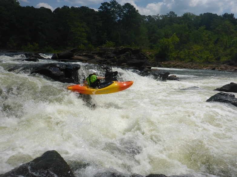
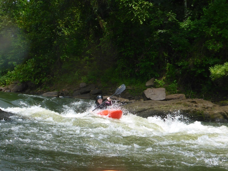
Photo
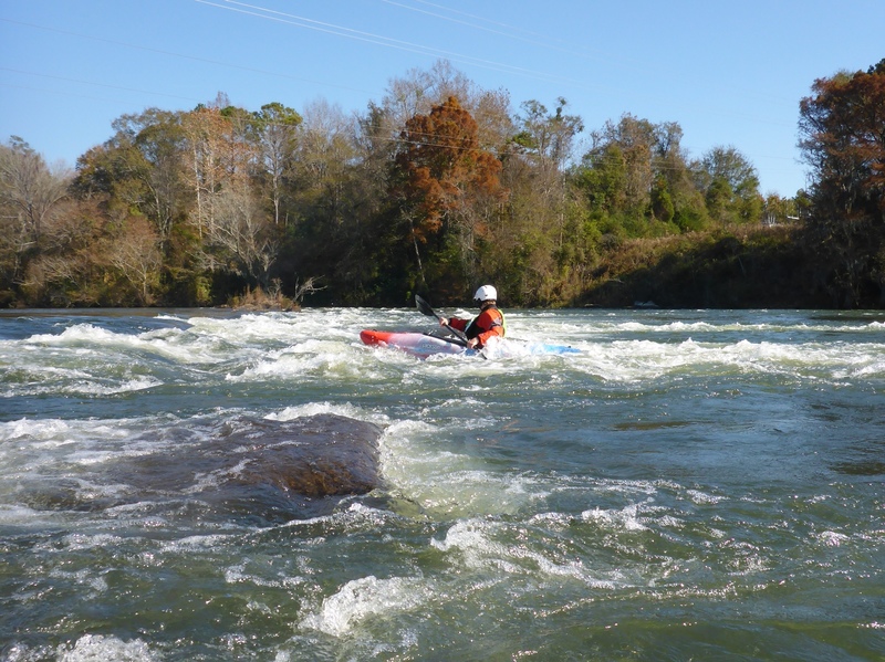
Photo courtesy of American Whitewater
Description
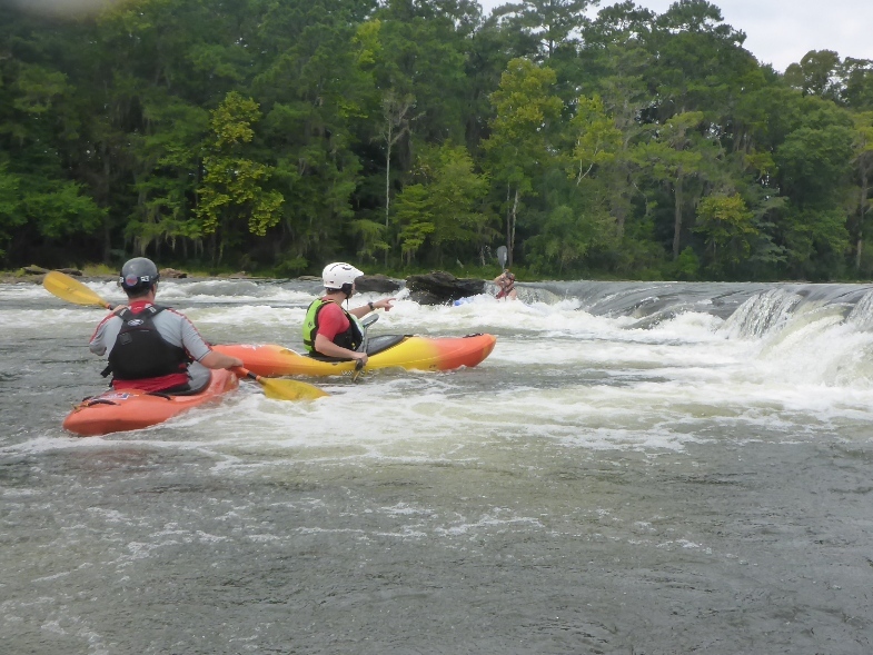
The powerlines mark the beginning of the whitewater on the Tallapoosa. At minimum flow there are mostly shoals and broken ledges until you get to the Falls. At higher water this section is filled with wave trains and holes.
Location
Other Rapids on This Run (9)
 Rapid
N/A
Rapid
N/A
Remnants of Talisi Falls
 Rapid
N/A
Rapid
N/A
Put In
 Playspot
II+
Playspot
II+
Sticky Hole (High Water)
 Rapid
II+
Rapid
II+
Ledges above falls (Right)
 Rapid
II+
Rapid
II+
Roller Coaster (Near River Left)
 Rapid
III
Rapid
III
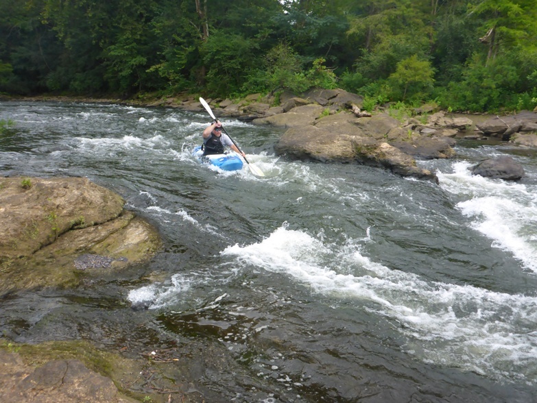
Ledge/Hole rapid above falls (river right)
 Rapid
II
Rapid
II
"Racecourse" a.k.a Nantahala Bend a.k.a the sneak
 Waterfall
IV
Waterfall
IV
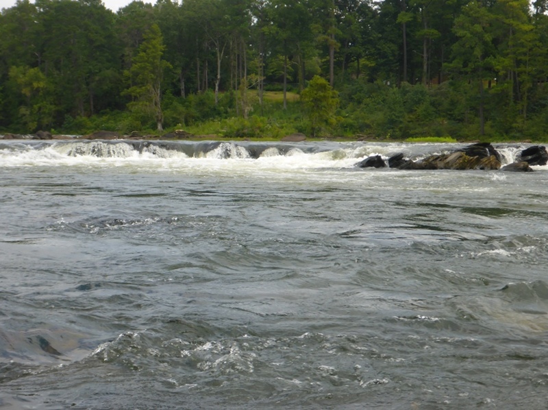
Tallapoosa Falls
 Playspot
II+
Playspot
II+
Takeout Rapid
View Full Run
Thurlow Dam to boat ramp
Tallapoosa
II-IV
1.6 mi
Current Conditions
5-Day Forecast
Whitewater data from
American Whitewater
American Whitewater