Pumping Station Rapids
American, North Fork - 5. Confluence with Middle Fork to Folsom Lake (CA)
Gauge Conditions
Approximate - nearest available gauge. Use as general reference only.
CDEC Flow Data California
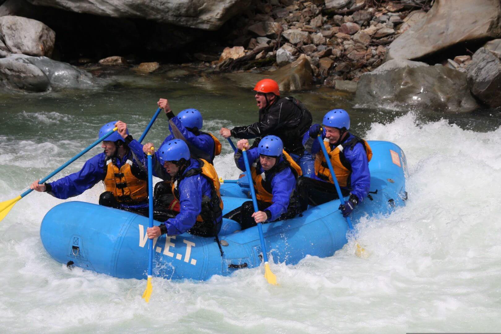
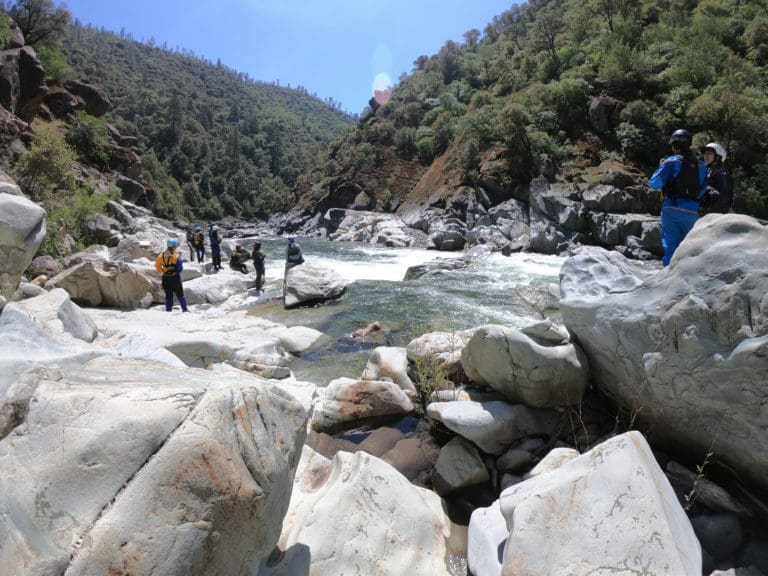
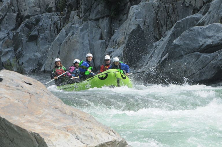
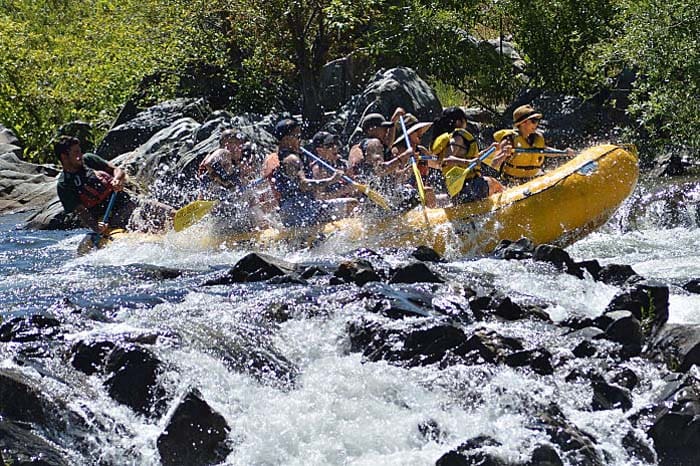
Photo
Description
The City of Auburn constructed a pumping station in the riverbed to supply water to the city, which required altering the riverbed. The river is now split into two channels, with water flowing through the gravel streambed and into pumps located on river right. Both channels feature artificial rapids, offering play boating opportunities at certain water levels. A portage trail on the left bank allows boaters to scout and carry their boats back upstream. Although a road leads to the site, public access is currently restricted, and visitors must park 2 miles uphill from the river. Boaters are advocating for the creation of public parking and vehicle access at the river in the future.
Location
Other Rapids on This Run (4)

Current Conditions
5-Day Forecast
American Whitewater