Gauge Conditions
Runnable: 500.0 – 20,000.0 CFS
Based on the flows listed for Section 2
Data from American Whitewater & USGS
Photo
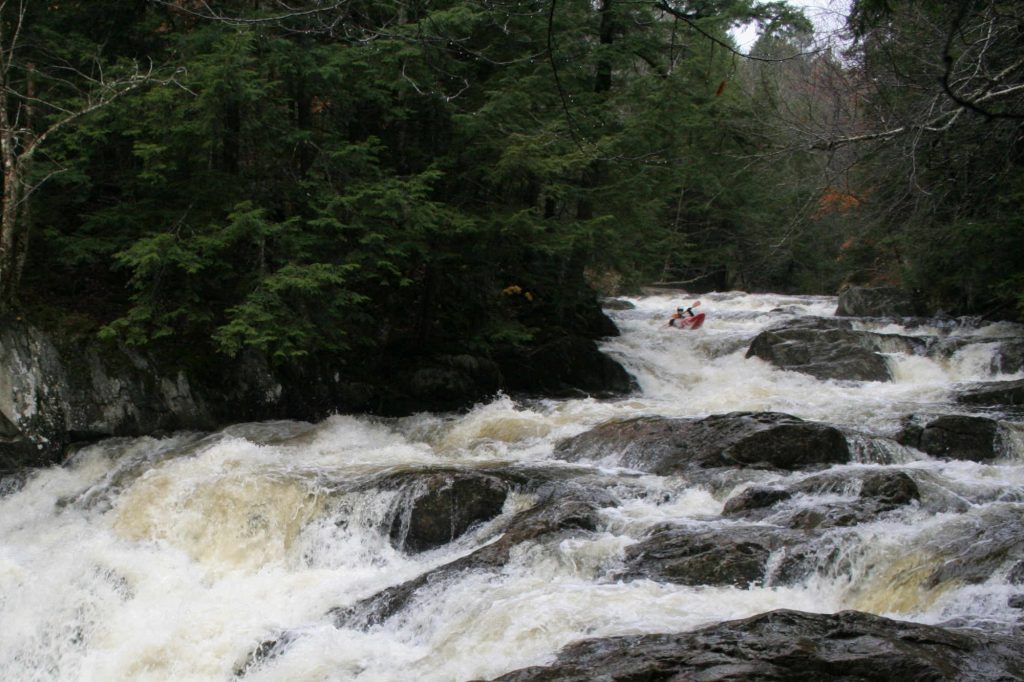
Photo courtesy of American Whitewater
Description
The Put In rapid marks the beginning of the Winooski River run from Marshfield to Montpelier, offering paddlers an entry point into the river's flow. While specific details about the rapid's difficulty or features are not clearly documented, paddlers should be prepared for potential entry-point challenges and assess the river conditions carefully before launching.
Location
Other Rapids on This Run (1)

View Full Run
1.) Marshfield to Montpelier
Winooski River
II-III
32.7 mi
Current Conditions
5-Day Forecast
Whitewater data from
American Whitewater
American Whitewater