Gauge Conditions
Runnable: ? – ? CFS
Approximate - nearest available gauge. Use as general reference only.
Data from American Whitewater & USGS
Photo
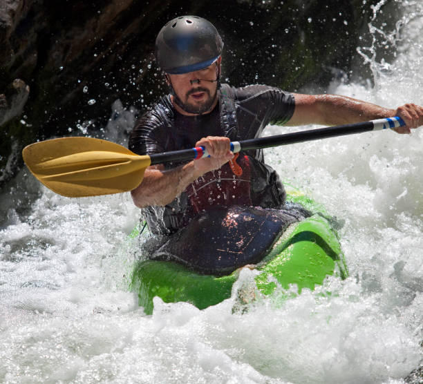
Photo courtesy of American Whitewater
Description
Put In is the initial access point for the Calapooia River run, marking the start of the descent through the National Forest section. The entry can be characterized by a relatively straightforward approach, though paddlers should be prepared for potential debris and tight maneuvering near the forest boundary. Careful scouting and a clean entry are recommended to establish a smooth line through the initial river segment.
Location
Other Rapids on This Run (1)
View Full Run
1. National Forest Boundary to end of pavement
Calapooia
II-III(IV)
17.5 mi
Current Conditions
5-Day Forecast
Whitewater data from
American Whitewater
American Whitewater