Gauge Conditions
Data from American Whitewater & USGS
View Full Run
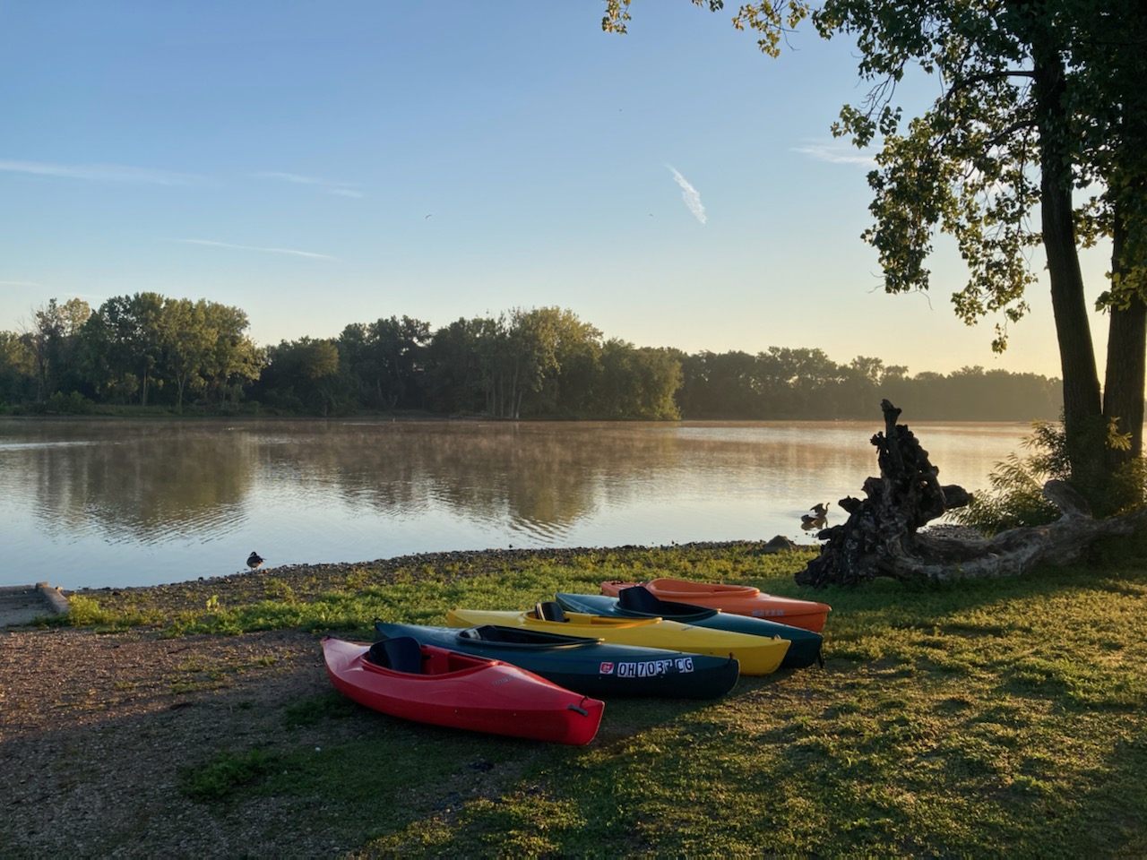
2. Boat launch to I-475 bridge
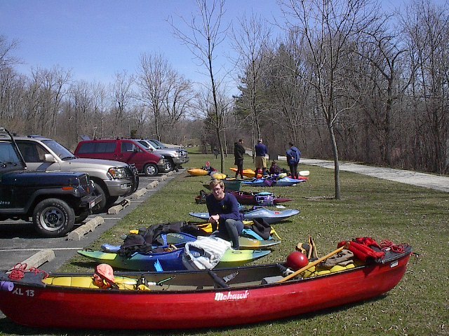
Maumee
I-II(III)
10.7 mi
Current Conditions
5-Day Forecast
Whitewater data from
American Whitewater
American Whitewater