Put-in
WV
Put In
Greenbrier River, East Fork - 2. Island Campground to confluence with the West Fork at Durbin (WV)
Gauge Conditions
Data from American Whitewater & USGS
Photo
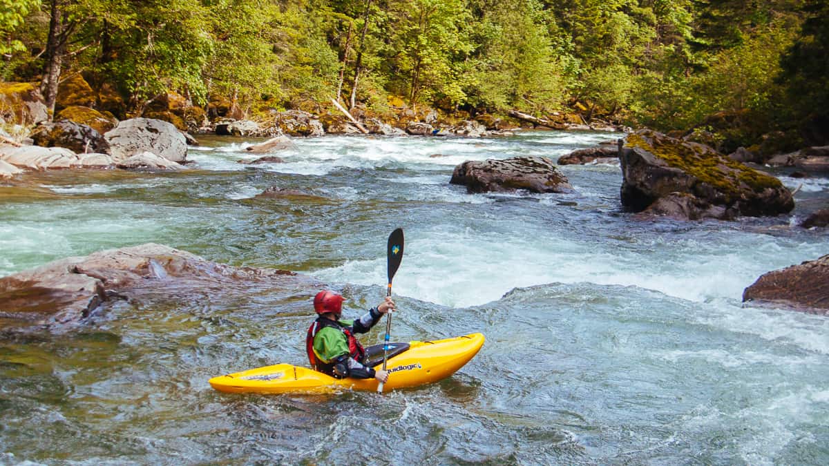
Photo courtesy of American Whitewater
Description
The Put In rapid marks the start of the East Fork Greenbrier River's whitewater section, offering paddlers an immediate entry point with mixed water features. While details are limited, the rapid appears to provide a transitional zone between the put-in location and the main river channel, likely requiring careful navigation around potential rocks or initial hydraulic features.
Location
Other Rapids on This Run (1)
View Full Run
2. Island Campground to confluence with the West Fork at Durbin
Greenbrier River, East Fork
I-II
9.0 mi
Current Conditions
5-Day Forecast
Whitewater data from
American Whitewater
American Whitewater