Gauge Conditions
Runnable: ? – ? CFS
Approximate - nearest available gauge. Use as general reference only.
Data from American Whitewater & USGS
CDEC Flow Data California
Data from California Data Exchange Center (CDEC)
Photo
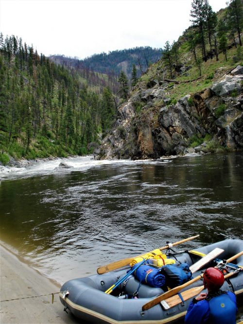
Photo courtesy of American Whitewater
Description
Put In rapid on the North Fork of Cottonwood Creek serves as the entry point for this section, with a straightforward approach that requires careful boat positioning to avoid scattered mid-stream boulder fields. Paddlers should be prepared for potential shallow spots and shifting rocks that can create unexpected obstacles during lower water levels.
Location
Other Rapids on This Run (1)

View Full Run
2) Ono to Gas Point Road
Cottonwood Creek, N. Fork
II-IV
8.0 mi
Current Conditions
5-Day Forecast
Whitewater data from
American Whitewater
American Whitewater