Put-in
VA
Put In
Piney River - 5.) Lower Piney: Rose Mill Rd. to Tye River (S. Powell Island Rd.) (VA)
Gauge Conditions
Runnable: 150.0 – 500.0 CFS
Unknown runnability/difficulty over 400-500 cfs. Caution!
Data from American Whitewater & USGS
Photo
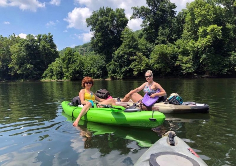
Photo courtesy of American Whitewater
Description
The Put In rapid marks the starting point for the Lower Piney River run, providing paddlers with an immediate entry into the river's flow. While specific details about this rapid's characteristics are limited, boaters should be prepared for potential initial technical challenges and carefully assess water levels and potential obstacles when launching.
Location
Other Rapids on This Run (1)

View Full Run
5.) Lower Piney: Rose Mill Rd. to Tye River (S. Powell Island Rd.)
Piney River
I-II(III)
8.0 mi
Current Conditions
5-Day Forecast
Whitewater data from
American Whitewater
American Whitewater