Gauge Conditions
Runnable: ? – ? CFS
Approximate - nearest available gauge. Use as general reference only.
Data from American Whitewater & USGS
Photo

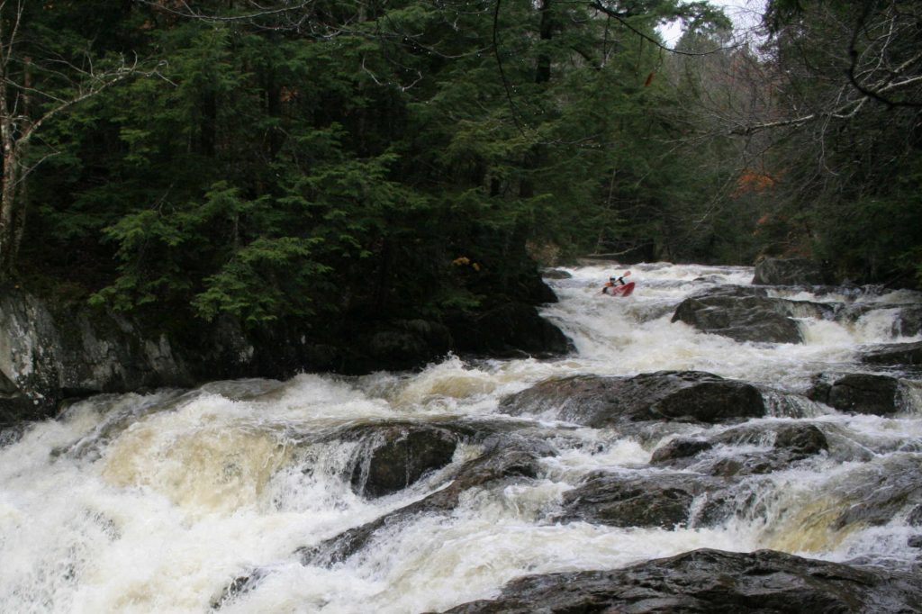
Photo courtesy of American Whitewater
Description
The Put In rapid on the Winooski River's North Branch is a straightforward entry point for river access near Route 12. While specific technical details are limited, paddlers should be aware of potential local river conditions and scout the area before launching, paying attention to water levels and potential submerged obstacles.
Location
Other Rapids on This Run (1)
View Full Run
Along Rte. 12, North of Montpelier
Winooski River, North Branch
IV(V)
2.0 mi
Current Conditions
5-Day Forecast
Whitewater data from
American Whitewater
American Whitewater