Gauge Conditions
Runnable: ? – ? CFS
Approximate - nearest available gauge. Use as general reference only.
Data from American Whitewater & USGS
Photo

Photo courtesy of American Whitewater
Description
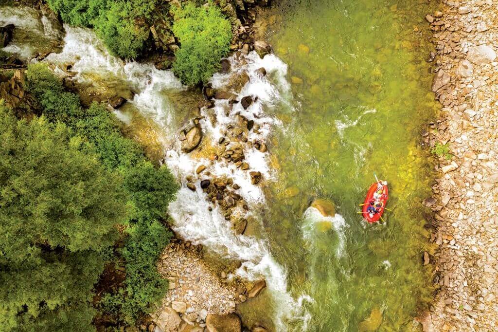
Put In rapid marks the starting point for this river run, with minimal technical challenges but requiring careful navigation through scattered boulder gardens. Paddlers should be alert for potential submerged rocks and shifting channels, particularly during lower water levels when route-finding becomes more critical.
Location
Other Rapids on This Run (1)
View Full Run
Camping area to Highway 220 (7.5 miles)
Ben Doodle Branch
IV-V
7.3 mi
Current Conditions
5-Day Forecast
Whitewater data from
American Whitewater
American Whitewater