Gauge Conditions
Data from American Whitewater & USGS
Photo
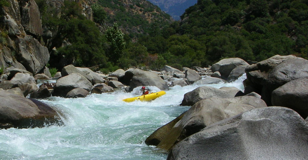
Photo courtesy of American Whitewater
Description
The Put In rapid marks the start of the Mulberry Fork run, providing paddlers with an immediate entry point into the river's flow. While specifics about unique features are limited, boaters should be prepared for potential initial navigational challenges and assess water levels and conditions carefully before launching.
Location
Other Rapids on This Run (1)
View Full Run
Center Hill- Blountville Road to US Route 31
Mulberry Fork, Upper
I-II
19.8 mi
Current Conditions
5-Day Forecast
Whitewater data from
American Whitewater
American Whitewater