Gauge Conditions
Data from American Whitewater & USGS
Photo

Photo courtesy of American Whitewater
Description
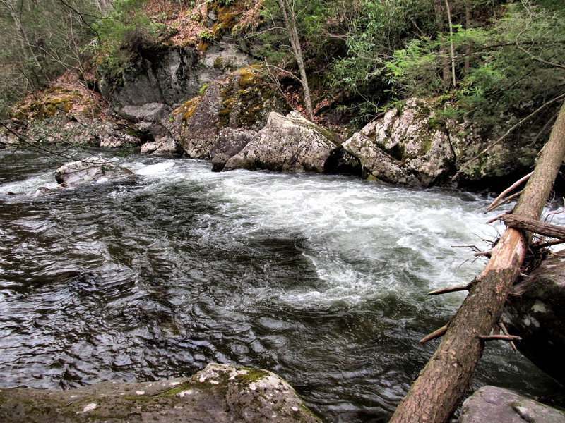
The Put In rapid marks the start of the Whitetop Laurel Creek run, offering paddlers an immediate entry point into the creek's technical stream bed. While not a particularly challenging section, the rapid requires careful navigation through a scattered rock garden with multiple potential lines, demanding precise boat placement and quick maneuvering. Paddlers should be prepared for potential shallow water conditions and scout the entry point to identify the cleanest route through the initial boulder field.
Location
Other Rapids on This Run (1)
View Full Run
Creek Junction (Route 728) to Route 58 near Damascus
Whitetop Laurel Creek
II-IV
10.6 mi
Current Conditions
5-Day Forecast
Whitewater data from
American Whitewater
American Whitewater