Put-in; Drainage area: ~470 sq.mi.
Milwaukee - B) Grafton Dells: Bridge Street to Lime Kiln Park Landing (PnP or 1.2 miles) (WI)
Gauge Conditions
Approximate - nearest available gauge. Use as general reference only.
Description
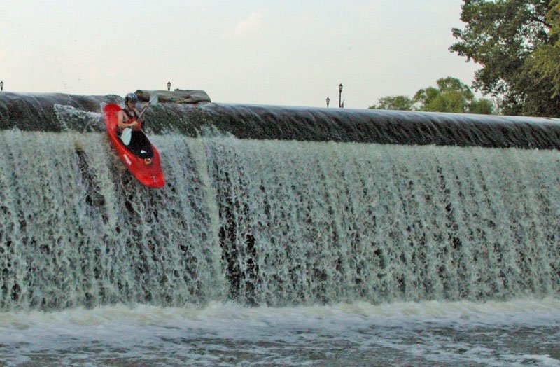
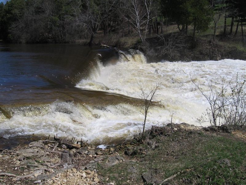
For those (extremely rare) paddlers coming from further upstream and planning to continue downstream, there is a marked portage around the dam on river-right. Whitewater paddlers generally will ignore the signage directing those boaters to a put-in at the south end of this dead-end stretch of 14th Avenue. Our suggested put-in lies just behind the first building (closest to Bridge Street). A paved area sloping down to a glass-craft studio (on the south end of the building) leads to shore areas convenient to put in from. (The proprietors of that business have been quite genial on the few occasions I have chatted with them.)
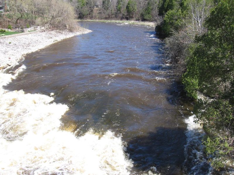
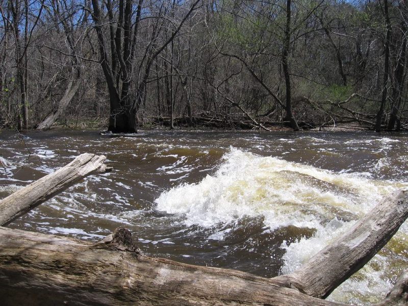
From this put-in, you have strong currents to contend with (at least, at good boatable flows). Immediately downstream there is a fair-sized island. More of the flow heads to the left of the island, which is usually the preferred (more interesting) route.
Location
Other Rapids on This Run (15)
 Hazard
N/A
Hazard
N/A
 Playspot
I
Playspot
I
 Playspot
I
Playspot
I
 Playspot
I
Playspot
I
 Hazard
II+
Hazard
II+
 Playspot
I
Playspot
I
 Playspot
N/A
Playspot
N/A
Current Conditions
5-Day Forecast
American Whitewater