Gauge Conditions
Runnable: ? – ? CFS
Approximate - nearest available gauge. Use as general reference only.
Data from American Whitewater & USGS
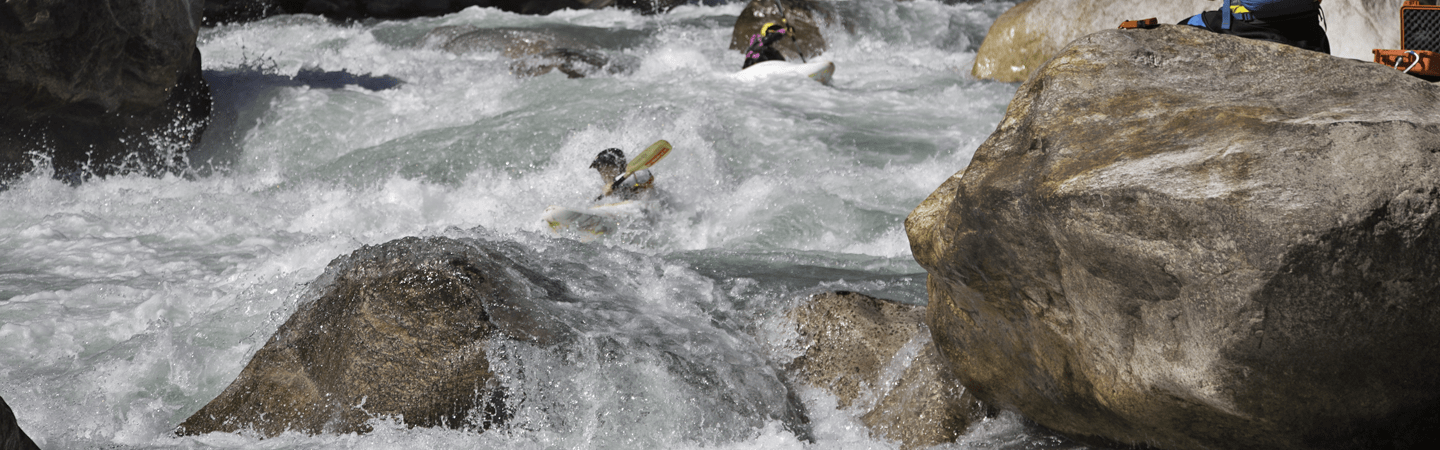
Photo
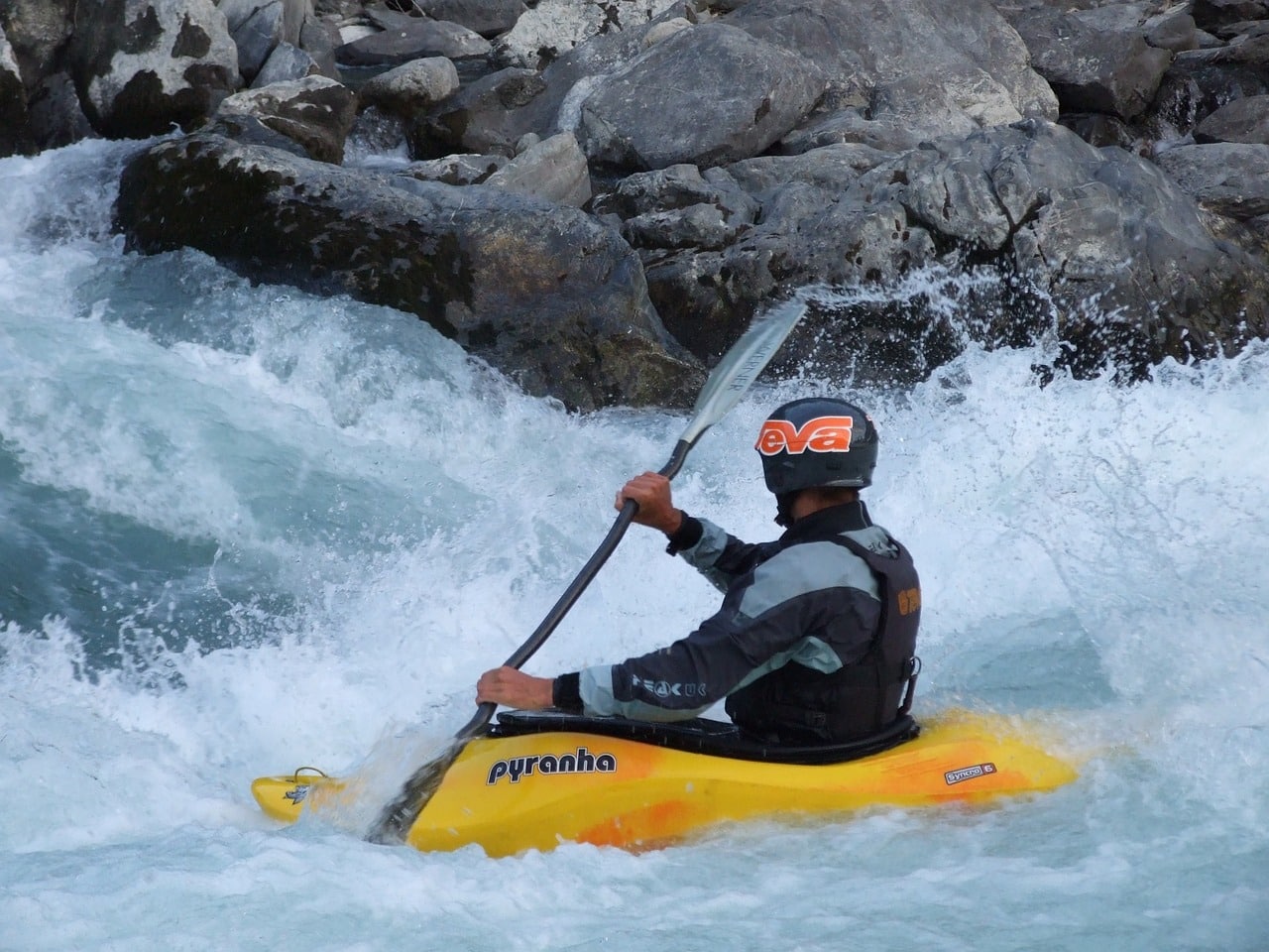
Photo courtesy of American Whitewater
Description
Put In rapid on the Bourbeuse River presents a typical entry point for this section, with minimal technical challenges and likely flat water approach conditions. While specific details are limited due to the river's relatively unrun status, paddlers should anticipate potential shallow sections and potential debris given the river's small watershed and rural Missouri setting.
Location
Other Rapids on This Run (1)
View Full Run
Highway 19 to Highway AM (west of Robertsville) (107.6 miles)
Bourbeuse
I
112.8 mi
Current Conditions
5-Day Forecast
Whitewater data from
American Whitewater
American Whitewater